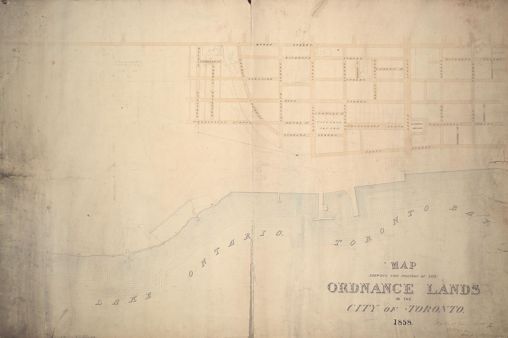

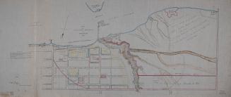
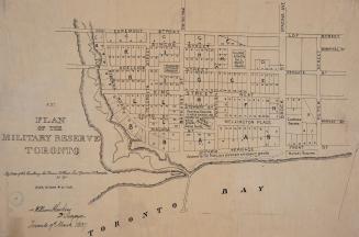
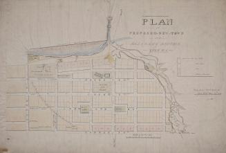
Map shewing the position of the ordnance lands in the City of Toronto.
Date1858
Names
Boulton, W. S. (William Sommerville), 1830-1860
(contributor)
FormatMap
Subject
Medium
Dimensions||Indeterminable||64 x 97 cm||
Language
CollectionBaldwin Collection of Canadiana
Usage Rights
Public Domain
(Learn
More)
Object NumberMAPS-R-131
27 June 1908

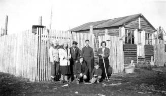
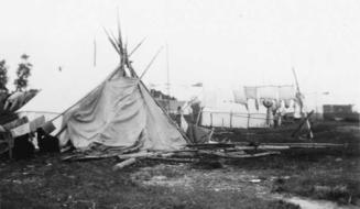
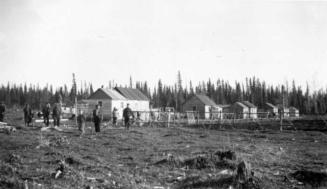
1945
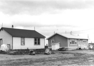
1970