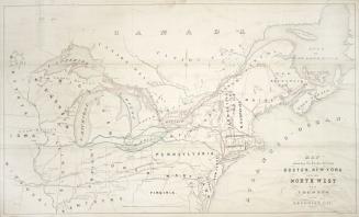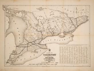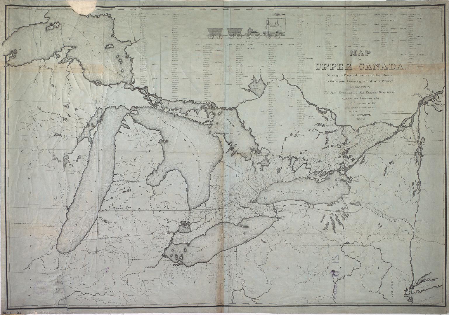

Map of Upper Canada shewing the proposed routes of rail roads for the purpose of extending the trade of the province
Date1837
Names
John Smyth (Toronto, Ont.)
(publisher)
Smyth, John
(author)
Format
Medium
Dimensions1 inch to 23 miles, 67.5 x 98 cm on sheet 70.5 x 99 cm
Language
CollectionBaldwin Collection of Canadiana
Usage Rights
Public Domain
(Learn More)
Call Number / Accession NumberOHQ-MAPS-S-R-269
Dewey NumberM912.713 s53
Country:Canada
Province or state:Ontario