
Appletons' illustrated railway and steam navigation guide
Date1861
Names
Format
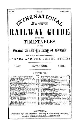
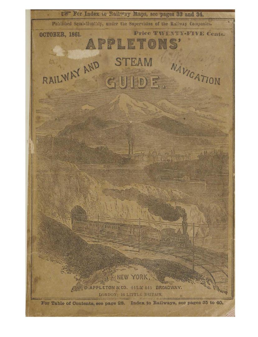
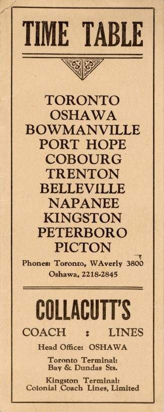
Appletons' illustrated railway and steam navigation guide: contains the time tables, stations, distances, and connections upon all the railways throughout the United States and the Canadas; : also, seventy-five railway maps, delineating the principal routes east, west, north, and south : together with An account of the principal towns, villages, and cities through which the trains pass ; Railways and their progress ; New inventions ; Anecdotes and incidents of travel, etc. / collected, compiled, and arranged exclusively for this publication, by G.F. Thomas .... ''Railway time tables and advertisements, published semi-monthly, on the first and fifteenth of each month, under the supervision of the Railway Companies.''; Tan hardcover with spine lettered in yellow; original illustrated brown paper wrappers bound in, with advertisements on lower cover and scene of a train and steamboat with snow-covered mountains in the background on upper cover; 24 pages of advertisements at front of book and 12 pages at end; advertisements also on inside covers; covers, t.p. and all pages of text within a black double-ruled border; index to railway maps, index to railways and terminal stations, and an index to advertisements at front of book following t.p.
Medium
Dimensions276 pages : illustrations, maps, charts; 18 cm
Language
CollectionBaldwin Collection of Canadiana
Usage Rights
Public Domain
(Learn More)
Call Number / Accession Number37131055350755D
Dewey Number1225202
1935