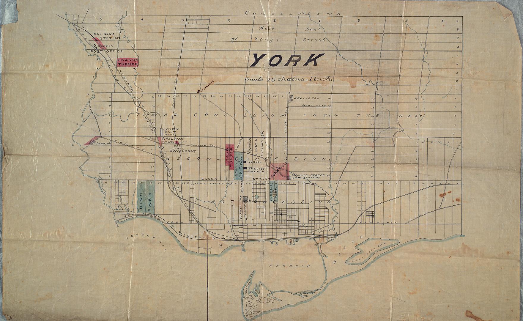

York
DateApproximately 1872
Names
Unknown
(cartographer)
Format
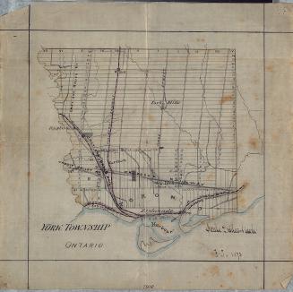
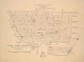
Map of York, showing the lines of the Toronto Grey and Bruce Railway, Grand Trunk Railway, Great Western Railway and Northern Railway. Also shows Dundas Road, Kingston Road, Davenport Road, Yonge St. and Bathurst. Shows High Park, Queen's Park, Seaton Village, Yorkville, Weston and Lambton.
Dimensions45 cm x 60 cm (17 11/16 in. x 23 5/8 in.)
Scale1 inch = 40 chains
Language
CollectionBaldwin Collection of Canadiana
Usage Rights
Public Domain
(Learn More)
Call Number / Accession NumberMs1934.1.1
Country:Canada
City, town or township:Toronto
East-west street:Kingston Road
Historical location:Etobicoke (Ont.)
Neighbourhood:Yorkville
North-south streeet:Yonge Street
Province or state:Ontario
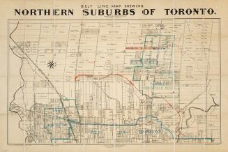
Approximately 1908