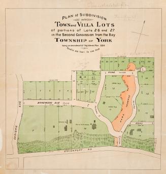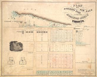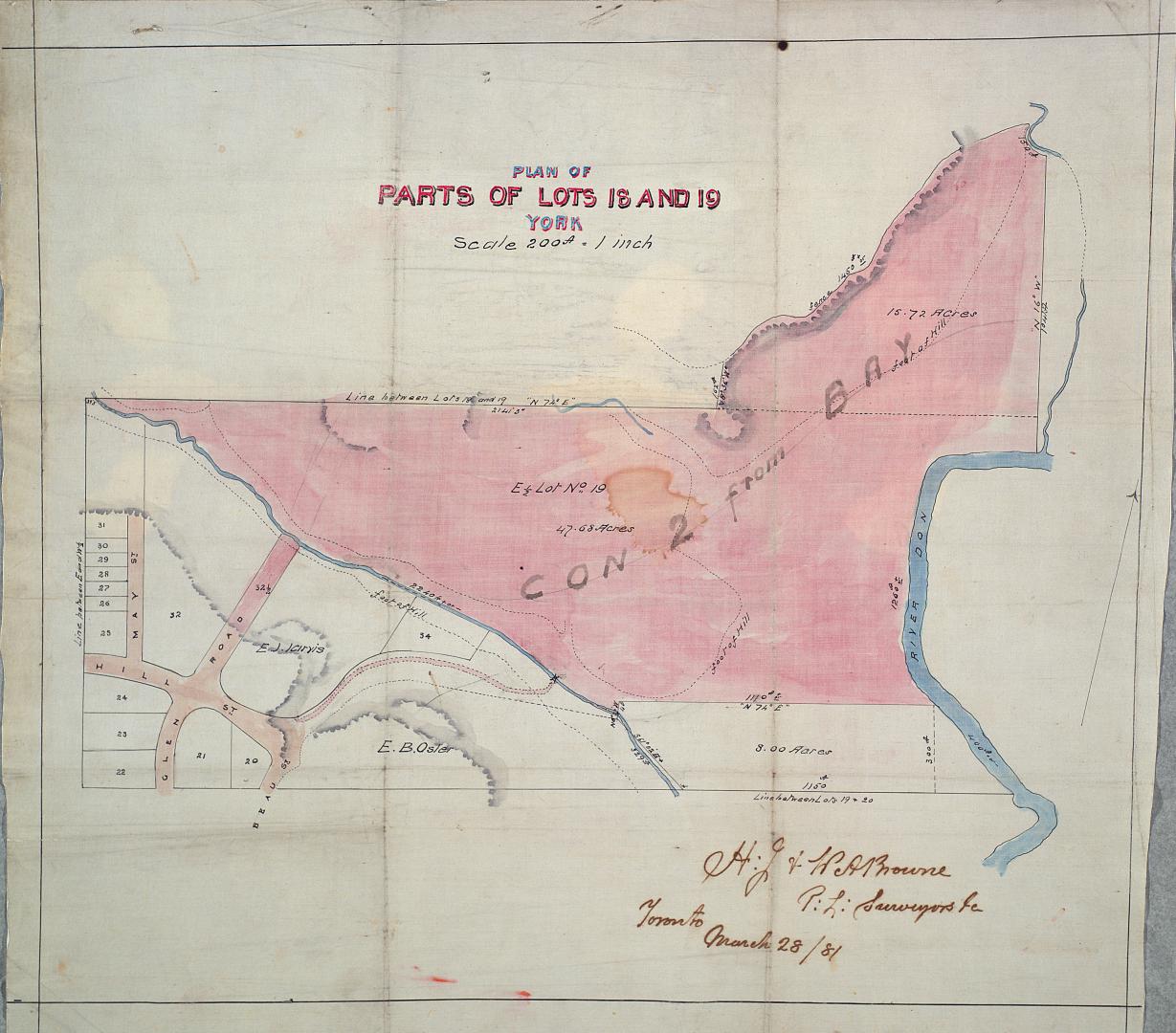

Plan of parts of lots 18 and 19 York
Date1881
Names
Browne, Henry John, 1840-1920
(cartographer)
Browne, W. A.
(cartographer)
Format
Plan shows a portion of Rosedale, east of May St. to the Don River. Includes elevations. Shows the properties of E.J. Jarvis and E.B. Osler.
Dimensions41 cm x 47.5 cm (16 1/8 in. x 18 11/16 in.)
Scale1 inch = 200 feet
Language
CollectionBaldwin Collection of Canadiana
Usage Rights
Public Domain
(Learn More)
Call Number / Accession NumberMsX.9
Country:Canada
City, town or township:Toronto
Geograhical feature:Don River
Historical location:York (Ont. : Township)
Neighbourhood:Rosedale-Moore Park
Province or state:Ontario