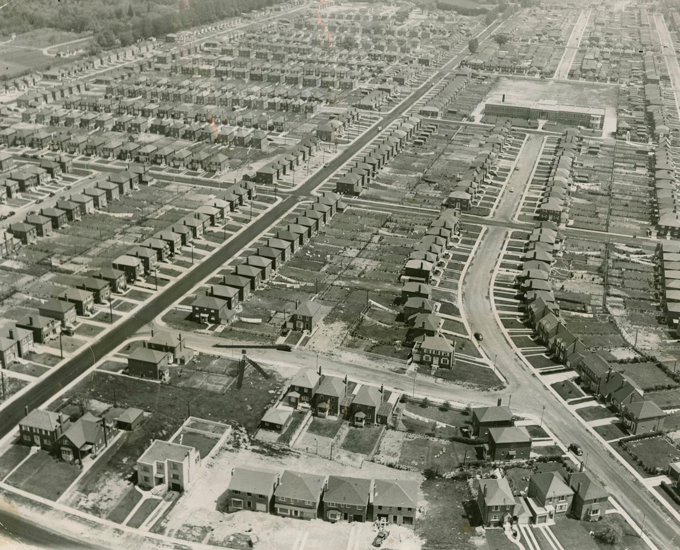

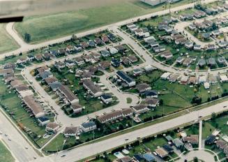
Aerial view of Leaside, looking northeast from Bessborough Drive, between Divadale Drive and Glenvale Boulevard, showing Northlea Public School, Rumsey Road, east side, on upper right, Toronto, Ontario
Date2/3/1950
Names
Toronto Star (Firm)
(publisher)
Unknown
(author)
FormatPicture
Subject
Medium
Language
ProvenanceCourtesy: Toronto Star Photograph Archives
CollectionToronto Star Photograph Archive
Usage Rights
Copyright
(Learn More)
Copyright HolderToronto Star (Firm)
Object NumberTS-2-125-GO-459
approx 1955
16 October 1985
approx 1965