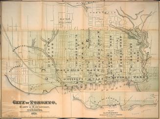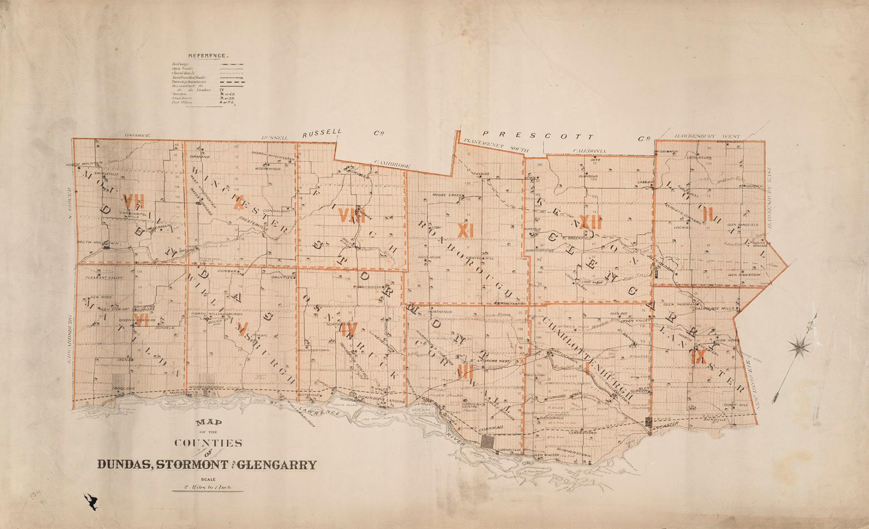

Map of the counties of Dundas, Stormont and Glengarry
DateApproximately 1880
Names
Unknown
(cartographer)
FormatMap
Dimensions56.5 cm x 92 cm (22 1/4 in. x 36 1/4 in.)
Language
CollectionBaldwin Collection of Canadiana
Usage Rights
Public Domain
(Learn More)
Object Number912-71375-M12
Dewey912.71375 M12