Skip to main content
Digital Archive
Site maintenance in progress — some items may not be available
Expand
Share
Order Reproduction
Download
1920 x auto
(full)
IIIF
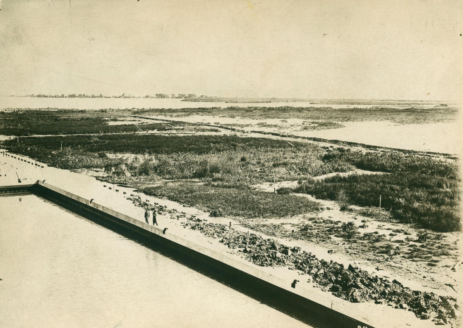
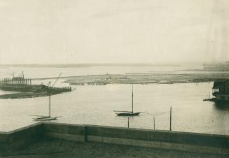
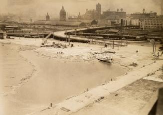
Toronto Harbour circa 1910
Previous
Next
1920 x auto
(full)
Toronto Harbour circa 1910
Date
191-?
Names
Unknown
(author)
Format
Picture
Notes
Toronto Harbour 191-?
Subject
Aerial views
Harbors and waterfronts
Geography
City, town, township
Toronto
Geography
Neighbourhood
Harbour
Geography
Province state
Ontario
Geography
Country
Canada
Medium
Black-and-white photographs
Dimensions
117 x 165 mm
Language
English
Collection
Baldwin Collection of Canadiana
Usage Rights
Public Domain (
Learn More
)
Object Number
942-1-29
RDF
XML
JSON
Discover More
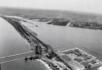
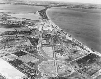
Bird's eye view of Toronto, Ont., from the air
1919
The harbor, Toronto, Ont., from the air
1919
Waterfront, Toronto, Ont., from an aeroplane
1919
Aerial view of the Hamilton Harbour and the Burlington Skyway. Burlington, Ontario
6/20/1983
Aerial view of the Burlington Skyway. Burlington, Ontario
1958-10
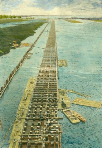
Toronto Harbour circa 1910 showing construction
191-?
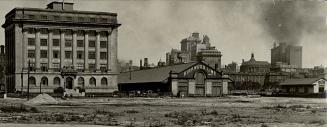
Toronto Harbour circa 1920, looking southwest from roof of Toronto Harbour Commission building
1920?
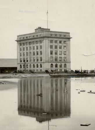
Toronto Harbour Commission Building, Harbour Street, north side, west of Bay Street, Toronto, Ontario
1/8/1923
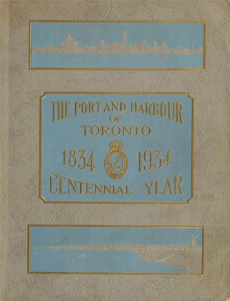
The port and harbour of Toronto, 1834-1934, centennial year, Toronto Harbour Commissioners
1934
Harbour Street at Bay Street, Toronto, Ontario.
1/25/1926
Report on the audit of Toronto Harbour Commissioners for the year ended December 31st, 1914
1915
Toronto Harbour 1922, looking north west towards York St. bridge. Toronto, Ontario
1922