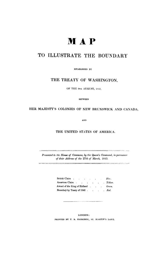

Map to illustrate the boundary established by the Treaty of Washington, of the 9th August, 1842, between Her Majesty's colonies of New Brunswick and C(...)
Date1843
Names
FormatBook
NotesMap to illustrate the boundary established by the Treaty of Washington, of the 9th August, 1842, between Her Majesty's colonies of New Brunswick and Canada, and the United States of America. Presented to the House of Commons, by the Queen's command, in pursuance of their address of the 27th of March, 1843
Subject
Medium
Dimensions||ill., map (fold.)||
Language
CollectionBaldwin Collection of Canadiana
Usage Rights
Public Domain
(Learn More)
Object Number37131055453435D
Dewey341.42026 G67.2 BR
Dewey1639720