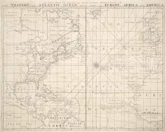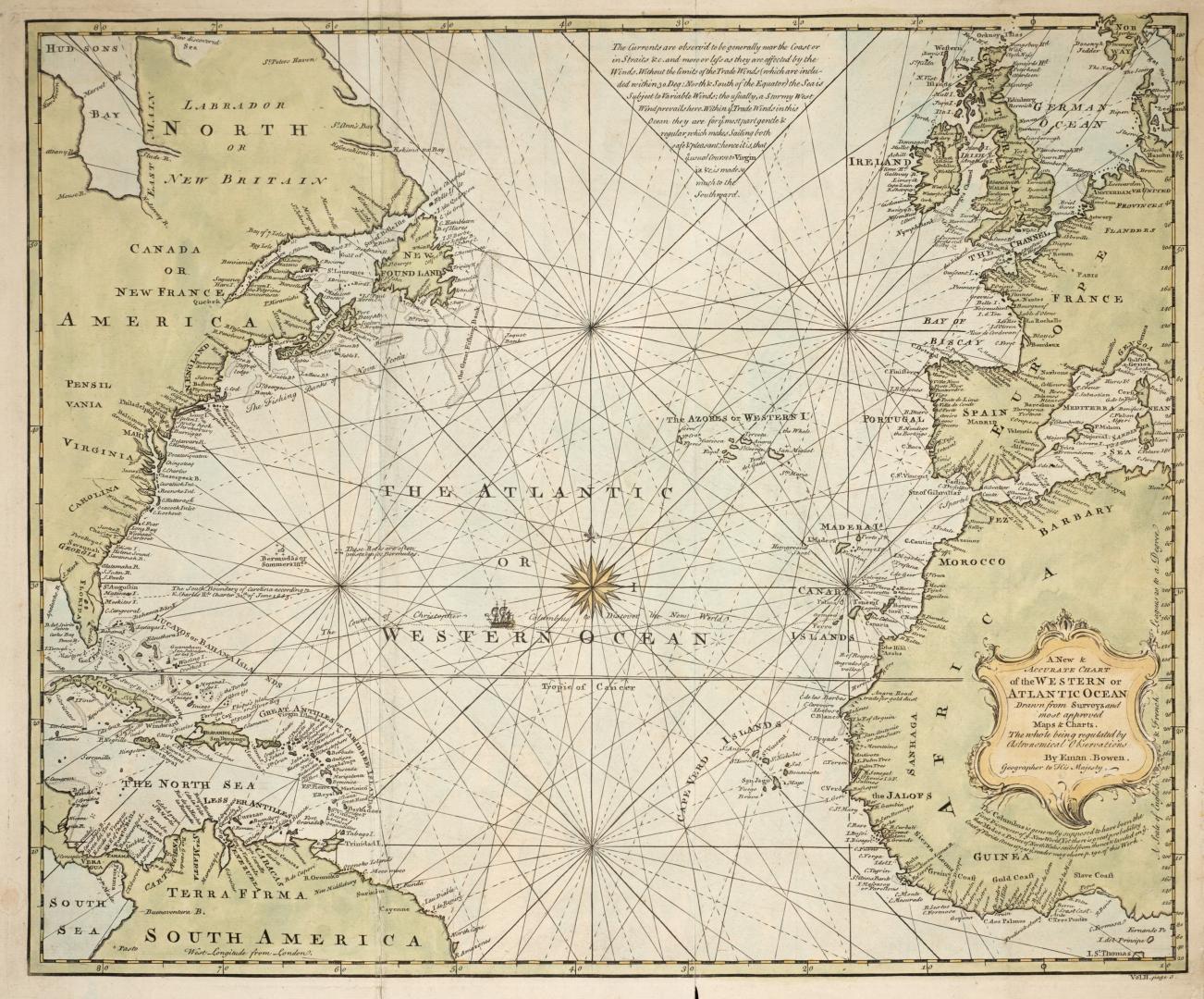

A new & accurate chart of the Western or Atlantic Ocean drawn from surveys and most approved maps & charts
Date1744
Names
Bowen, Emmanuel, 1693?-1767
(cartographer)
Format
At lower right 'Vol II page 3 From Harris, John. 'Navigantium atque Itinerantium', London, 1744
Subject
Dimensions 41 x 48 cm
Language
CollectionBaldwin Collection of Canadiana
Usage Rights
Public Domain
(Learn More)
Call Number / Accession Number912-4-B596-SMALL
Dewey Number912.4 B596 (small)
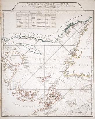
Country:Canada
Geograhical feature:Atlantic Ocean
Region or district:South America