
A voyage of discovery to the North Pacific Ocean, and round the world, in which the coast of North-west America has been carefully examined and accura(...)
Date1798
Names
Chatham (Ship)
(subject)
Discovery (Ship : Launched 1789)
(subject)
G.G. & J. Robinson
(publisher)
Vancouver, George, 1757-1798
(subject)
Vancouver, George, 1757-1798
(author)
Alternate Title
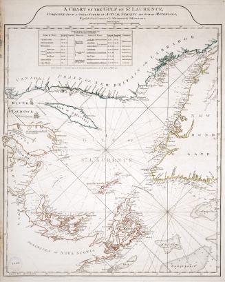
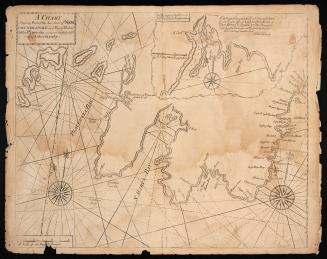
Chart shewing part of the coast of N.W. America : with the tracks of His Majesty's sloop Discovery and armed tender Chatham...
Chart shewing part of the coast of N.W. America : with the tracks of His Majesty's sloop Discovery and armed tender Chatham..
Format
A voyage of discovery to the North Pacific Ocean, and round the world; in which the coast of North-west America has been carefully examined and accurately surveyed. Undertaken by His Majesty's command, principally with a view to ascertain the existence of any navigable communication between the North Pacific and North Atlantic Oceans; and performed in the years 1790, 1791, 1792, 1793, 1794 and 1795, in the Discovery sloop of war, and armed tender Chatham, under the command of Captain George Vancouver. First edition. Includes: Atlas. with folios. London, J. Edwards, R. Edwards & G. Robinson, 1798. Titles of individual maps bound into atlas begin with caption: ''A chart shewing part of the coast of N.W. America : with the tracks of His Majesty's sloop Discovery and armed tender Chatham / commanded by George Vancouver Esqr. and prepared under his immediate inspection by Lieut. Joseph Baker.
Medium
Dimensions||plates, maps. +1 atlas (16 maps (some folded) ; 57 cm.)||
Language
CollectionBaldwin Collection of Canadiana
Usage Rights
Public Domain
(Learn More)
Call Number / Accession Number37131055443378D
Dewey Number1289584
Geograhical feature:Vancouver Island (B.C.)
Province or state:British Columbia