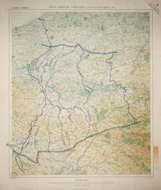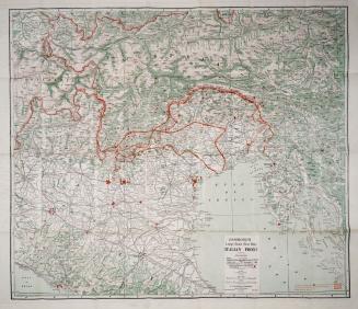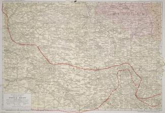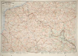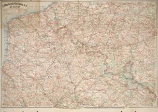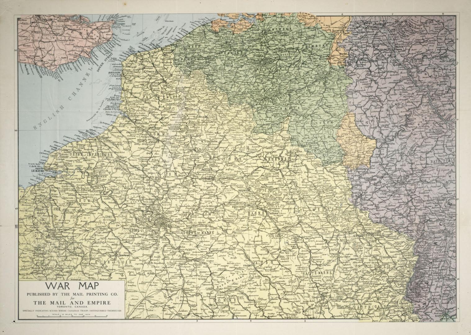

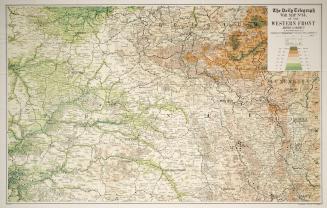
War map published by the Mail Printing Co. for the Mail and Empire, Toronto, Canada, specially indicating scenes where Canadian troops distinguished themselves
DateApproximately 1918
Names
Mail Printing Co.
(publisher)
FormatMap
Subject
Medium
Dimensions1: 760 000 : 57 x 81 cm. folded to 22 x 12 cm.
Language
CollectionBaldwin Collection of Canadiana
Usage Rights
Public Domain
(Learn
More)
Object Number940-41271-W129
Dewey940.41271 W129 (WW1 map drawer)
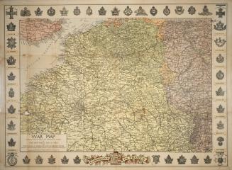
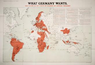
Approximately 1918
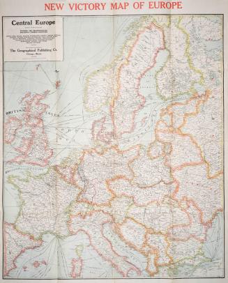
Approximately 1916