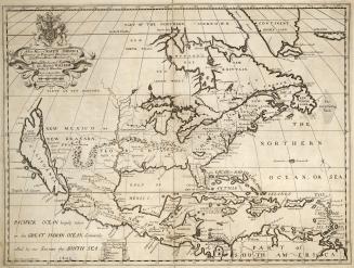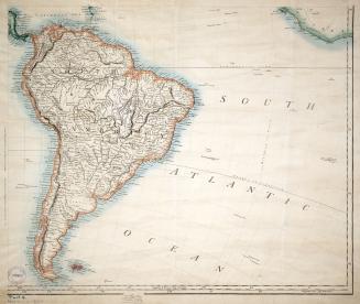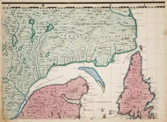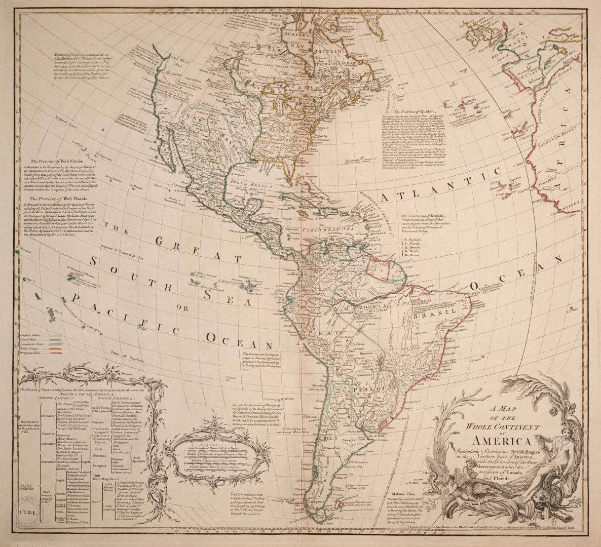

A map of the whole continent of America particularly shewing the British empire in the northern part of America with the divisions of the new governments since the accession of Canada and Florida
Date1765
Names
Bowles, John
(publisher)
John Bowles & Carington Bowles
(publisher)
Format
Includes chart showing division of countries between North and South America and the European country that has claimed them
Subject
Medium
Dimensions50 cm x 54 cm (19 11/16 in. x 21 1/4 in.)
ScaleEnglish statute miles
Scale69 4/25 to a degree
Language
CollectionBaldwin Collection of Canadiana
Usage Rights
Public Domain
(Learn More)
Call Number / Accession Number912-7-M124-SMALL
Dewey Number912.7 M124 (small)
Country:Mexico
Region or district:West Indies