
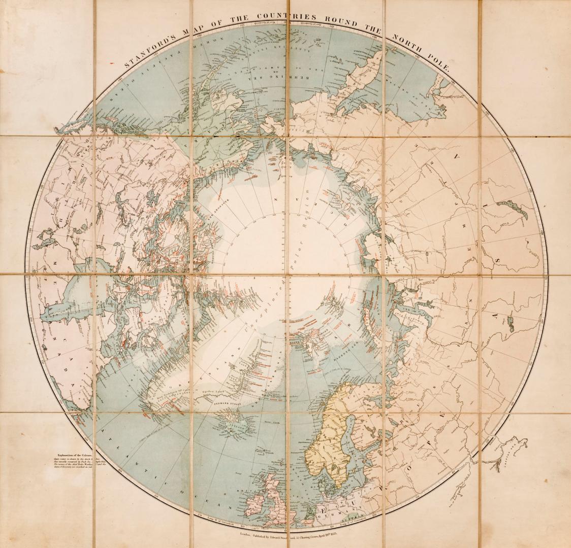

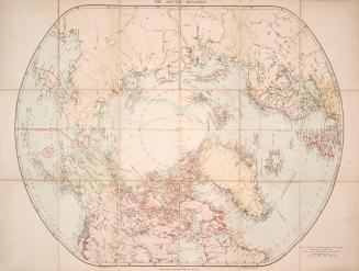
Stanford's map of the countries round the north pole
Date1875
Names
Stanford, Edward
(publisher)
Stanford, Edward
(cartographer)
FormatMap
NotesShows names of Arctic explorers and dates of explorations
Dimensions67 cm x 70 cm (26 3/8 in. x 27 9/16 in.)
Scaleca 1 : 15 000 000
Language
CollectionBaldwin Collection of Canadiana
Usage Rights
Public Domain
(Learn
More)
Object Number912-98-S74-FRAGILE-FOLD
Dewey912.98 S74 (Fragile Fold map cabinet)

Approximately 1820
Approximately 1915