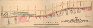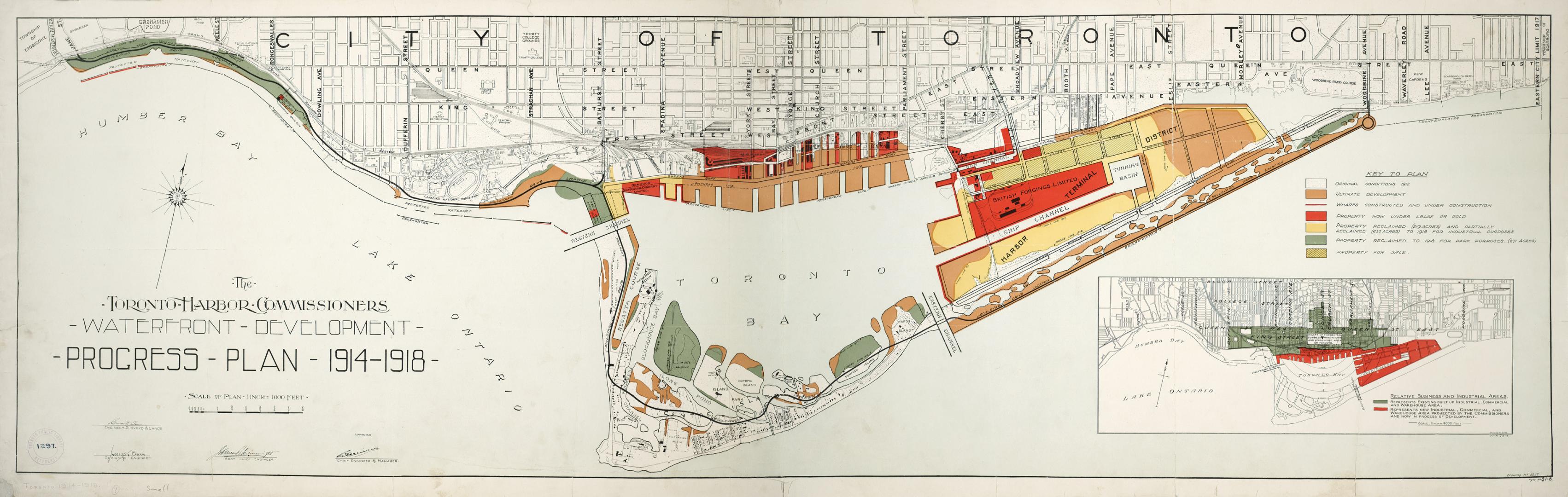

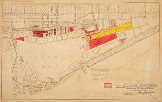
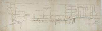
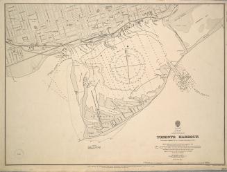
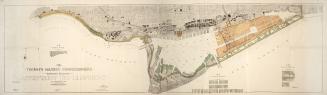
The Toronto Harbor Commissioners Waterfront Development Progress Plan 1914-1918
DateBetween 1914 and 1918
Names
Toronto Harbour Commissioners
(author)
Toronto Harbour Commissioners
(publisher)
Format
Scale1 inch = 4000 feet
Language
CollectionBaldwin Collection of Canadiana
Usage Rights
Public Domain
(Learn More)
Call Number / Accession NumberT-1914-SMALL
Country:Canada
City, town or township:Toronto
Neighbourhood:Port Lands
Province or state:Ontario

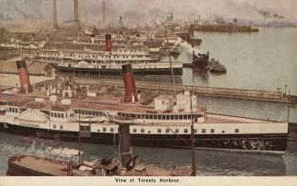
Approximately 1920
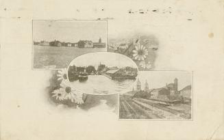
Approximately 1906
Approximately 1924