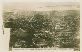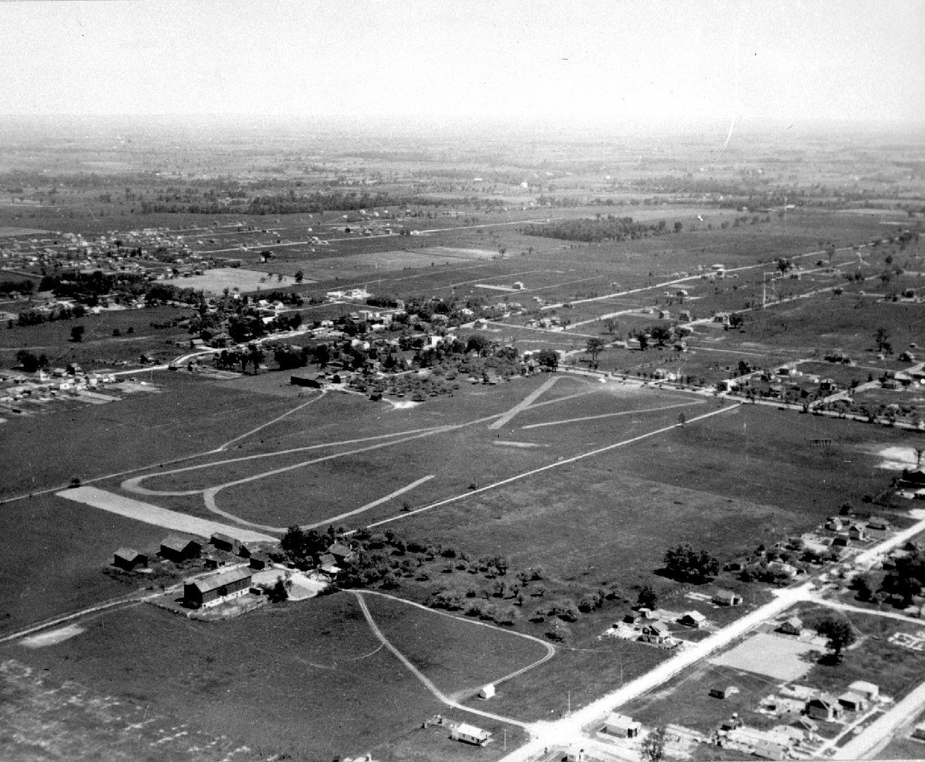

Aerial view of land east and west of Yonge Street between Burndale and north of Finch
Date1927 ca.
Names
Unknown
(author)
Format
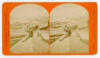
Lot 17, Con. 1 West. Aerial view showing land east and west of Yonge Street between Burndale Avenue and approximately Finch Avenue. Right side (top to bottom): Oscar Smith property (later Northtown Shopping Centre), David and Peter Gibson properties, Air field (now York Cemetery), Bert Heslop farm (original Michael Shepard farm). Middle left side (top to bottom): Yonge Steet, Metropolitan Rink, corner of Burnett and Yonge. Photo taken by a Captain Robinson of Fairchild Air Photography Company of Philadelphia. Approximate date of photograph prior to 1927.
Subject
Medium
Dimensions57 x 70 mm
Language
ProvenanceToronto Public Library. North York Central Library. Canadiana Department. Gift of North York Historical Society.
Usage Rights
Public Domain
(Learn More)
Call Number / Accession NumberNYHS00373
Country:Canada
City, town or township:Toronto
Neighbourhood:Willowdale
Province or state:Ontario
Approximately 1920
Approximately 1915
Approximately 1876