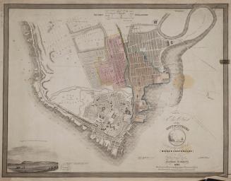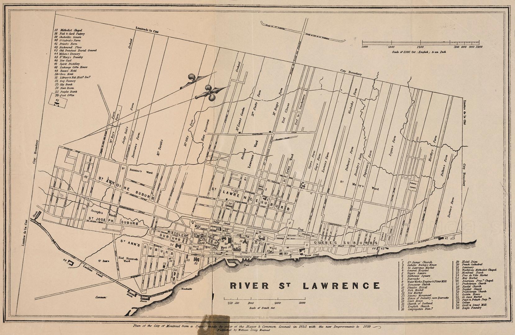

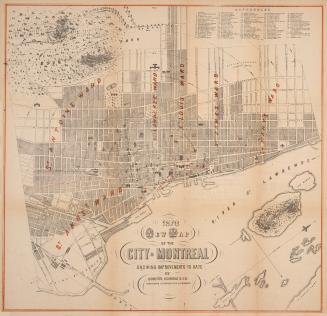
Plan of the City of Montréal
Date1839
Names
City of Montreal
(contributor)
Format
| Plan of the City of Montreal from a survey made by order of the Mayor & Common Council in 1835 with the new improvements to 1839. Includes list of places of interest in the city. |
Subject
Medium
DimensionsLeaf size: 26.5 cm x 43 cm (10 7/16 in. x 16 15/16 in.)
ScaleBar scale (scale of French feet), Bar scale (1200 English feet to an inch)
Language
CollectionBaldwin Collection of Canadiana
Usage Rights
Public Domain
(Learn More)
Call Number / Accession Number912-71428-G669-SMALL
Dewey Number912.71428 G669 SMALL
Country:Canada
City, town or township:Montréal
Geograhical feature:Saint Lawrence River
Province or state:Québec
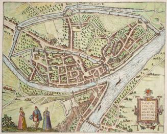
1595
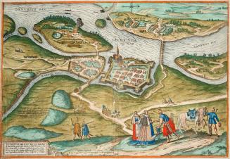
1566
1581
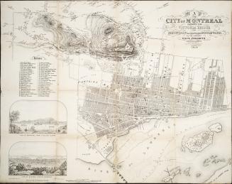
Approximately 1847