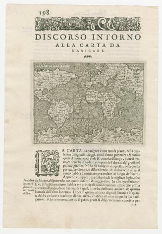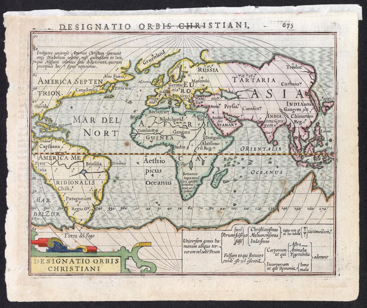

Designatio Orbis Christiani
DateApproximately 1607
Names
Mercator, Gerhard, 1512-1594
(cartographer)
Hondius, Jodocus, 1563-1612
(contributor)
Jansson, Jan, 1588-1664
(publisher)
Format
|
Subject
Medium
Dimensions17.5 cm x 21 cm (6 7/8 in. x 8 1/4 in.)
Language
CollectionBaldwin Collection of Canadiana
Usage Rights
Public Domain
(Learn More)
Call Number / Accession Number912-M26
Dewey Number912 M26 (miniature maps drawer)