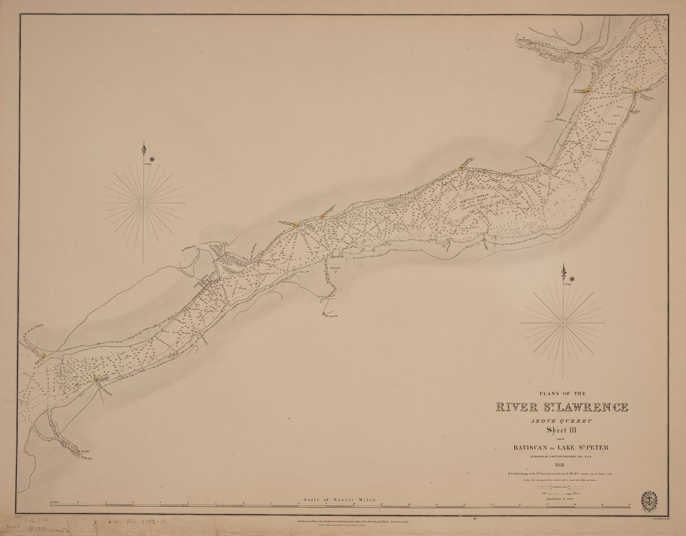

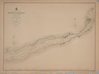
Plans of the River St. Lawrence above Québec sheet III Batiscan to Lake St. Peter
Date1831
Names
Bayfield, Henry Wolsey, 1795-1885
(contributor)
J & C Walker
(engraver)
J & C Walker
(printer)
Hydrographic Office
(publisher)
FormatMap
Notes| Published according to the Act of Parliament at the Hydrographic Office of the Admiralty April 12th 1838. Corrected to 1848. Sold by R.B. Bates agent for the admiralty charts 21 Poultry & Royal Exchange East |
Dimensions50 cm x 67.5 cm (19 11/16 in. x 26 9/16 in.)
ScaleBar scale (nautical miles)
Language
CollectionBaldwin Collection of Canadiana
Usage Rights
Public Domain
(Learn
More)
Object Number912-714-B138-3-SMALL
Dewey912.714 B138 sheet 3 SMALL
1863