
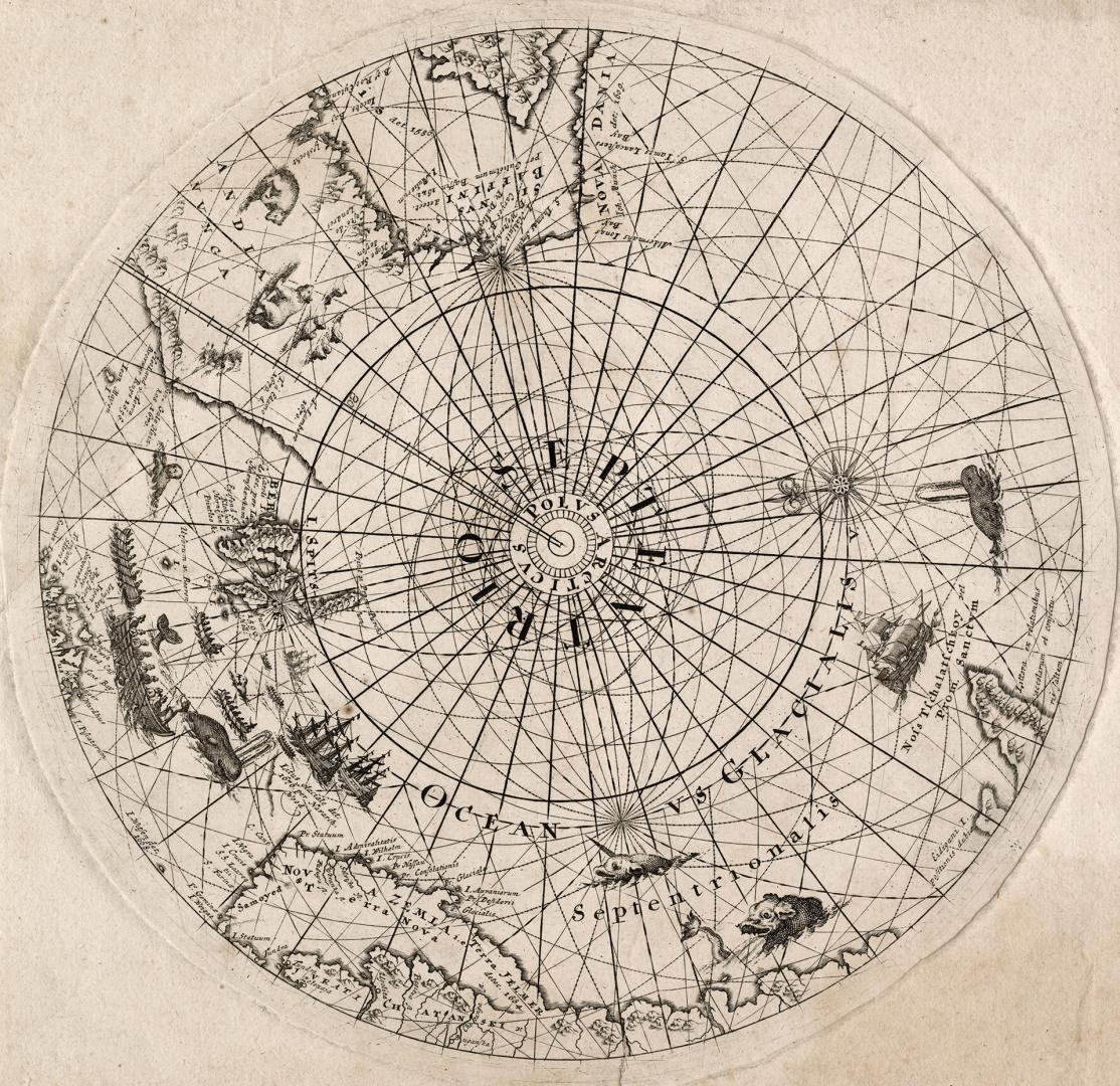

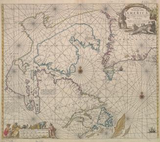
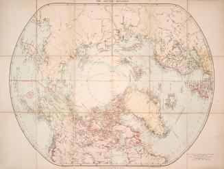
North polar regions
Date1680
Format
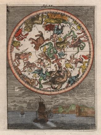
This map is a globe calotte (a cap that covers the join of gores on a globe), and includes the area from seventy degrees north to the pole. There is no land shown at the pole itself; rather, it is attractively criss-crossed with numerous rhumb lines. There are several sea creatures such as whales and narwhals and sea "monsters" depicted, as well as polar bears, sailing ships and large wooden Viking style rowboats.
Subject
Medium
Dimensions34 cm x 25 cm (13 3/8 in. x 9 13/16 in.)
Language
CollectionBaldwin Collection of Canadiana
Usage Rights
Public Domain
(Learn More)
Call Number / Accession Number912-98-N59
Dewey Number912.98 N59 (Arctic Maps drawer)
Geograhical feature:North Pole
Region or district:Arctic regions
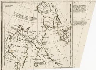
1759
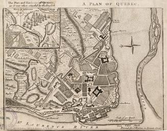
![Die stadt Québec [Qvebec]](/internal/media/dispatcher/1986214/thumbnail)
Approximately 1915
1752