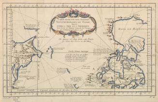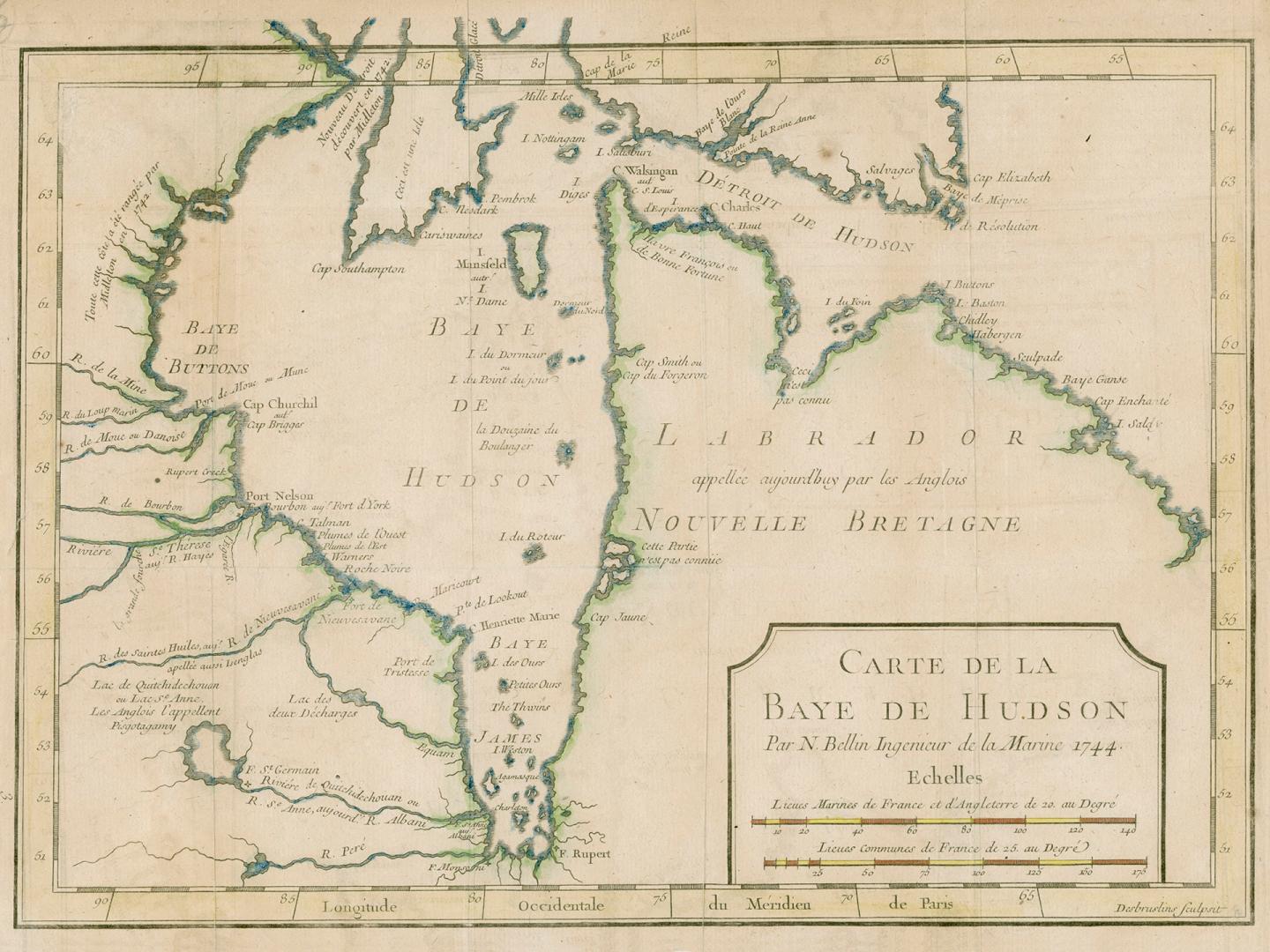

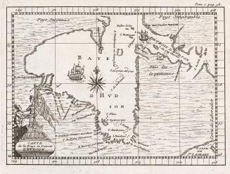
Carte de la baye de Hudson
Date1744
Names
Bellin, Jacques Nicolas, 1703-1772
(cartographer)
Desbruslins, active 18th century
(engraver)
FormatMap
NotesThe map was produced for Charlevoix's 1744 Histoire et description générale de la Nouvelle France.
Subject
Dimensions23 cm x 31 cm (9 1/16 in. x 12 3/16 in.)
Language
ProvenanceFrom the George Weston Limited donation of printed maps and illustrations 2002
CollectionBaldwin Collection of Canadiana
Usage Rights
Public Domain
(Learn More)
Object Number912-19632-B25-WESTON-19
Dewey912.19632 B25
![Carte de la riviere Longue : et de quelques autres, qui se dechargent dans le grand fleuve de Missisipi [sic] ... ; Carte que les Gnacsitares : ont dessine sur des paux de cerfs ..](/internal/media/dispatcher/2001889/thumbnail)