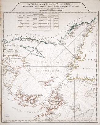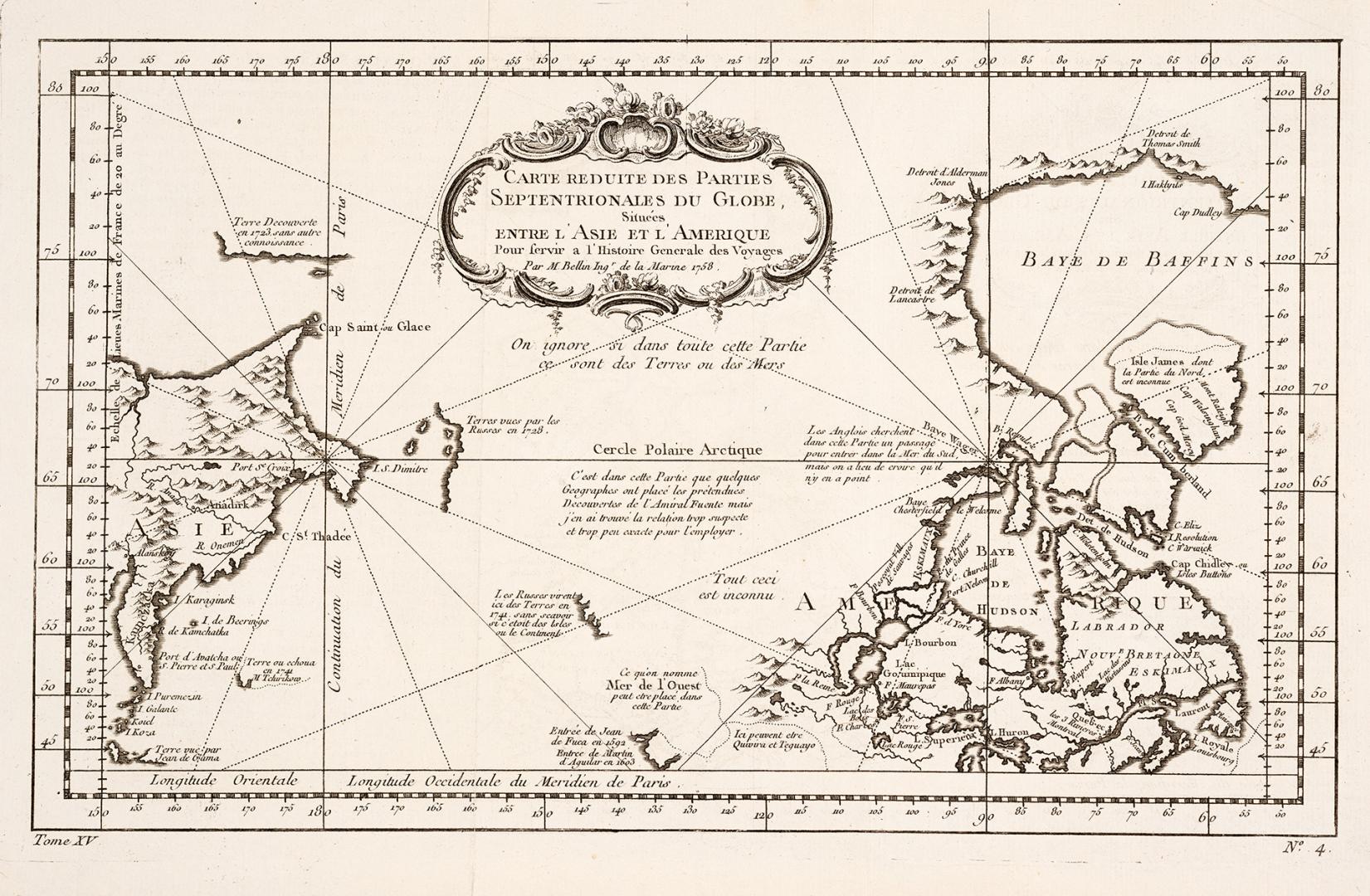

Carte reduite des parties septentrionales du globe situées entre l'Asie et l'Amerique
Date1758
Names
Bellin, Jacques Nicolas, 1703-1772
(cartographer)
FormatMap
NotesDimensions28 cm x 42 cm (11 in. x 16 9/16 in.)
Language
ProvenanceFrom the George Weston Limited donation of printed maps and illustrations 2002
CollectionBaldwin Collection of Canadiana
Usage Rights
Public Domain
(Learn More)
Object Number912-19632-B25-5-WESTON-26
Dewey912.19632 B25.5 (Weston donation maps drawer, map #26)
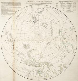
Approximately 1773