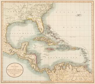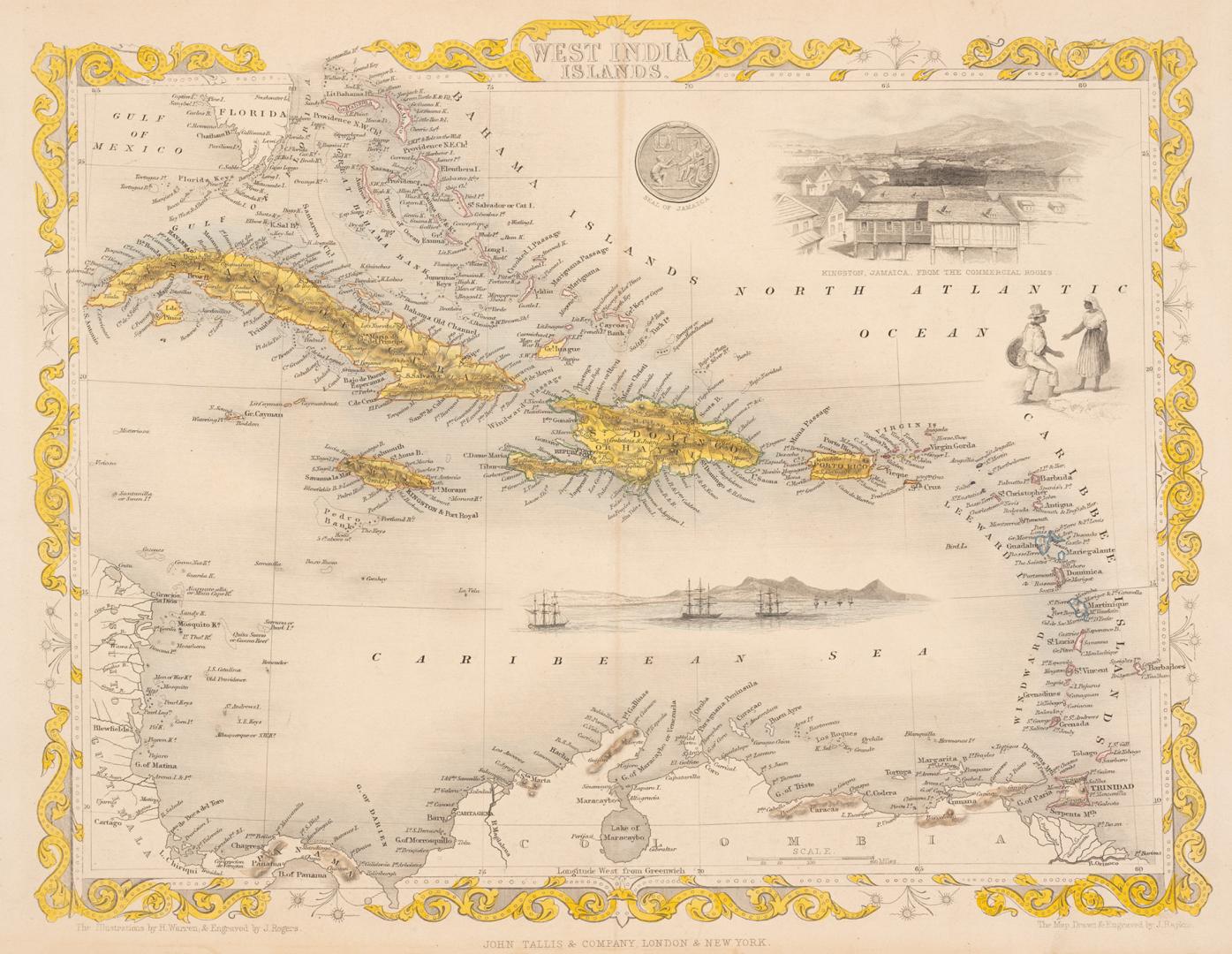

West India Islands
Date1851
Names
Rogers, John
(engraver)
Rapkin, John, 1815-1876
(engraver)
John Tallis & Company
(publisher)
Rapkin, John, 1815-1876
(cartographer)
Warren, Henry, 1794-1879
(illustrator)
FormatMap
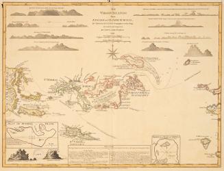
NotesThis engraving comes from the ''Illustrated Atlas'' published in London, Edinburgh and Dublin from about 1848 by the John Tallis Company. The maps in this atlas are representative of the end of an era of elaborately and beautifully decorative maps.
Subject
Dimensions27.5 cm x 36.2 cm (10 13/16 in. x 14 1/4 in.)
Language
CollectionBaldwin Collection of Canadiana
Usage Rights
Public Domain
(Learn
More)
Object Number912-729-R12-2-SMALL
Dewey912.729 R12.2 (small)