Skip to main content
Digital Archive
Cary, John, approximately 1754-1835
Close
Refine Results
Show Only Public Domain
Format
Map
(12)
Date
to
Names
Cary, John, approximately 1754-1835
(12)
J. Cary
(10)
Subject
Maps
(12)
Collection
Baldwin Collection of Canadiana
(12)
Language
English
(12)
Sort:
Title (A–Z)
Date (Older First)
Date (Newer First)
Title (Z–A)
Last Updated (Ascending)
Last Updated (Descending)
List
Images
Table
/ 1
Filters
12 results
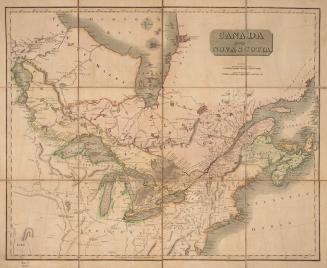
Canada and Nova Scotia
Approximately 1800
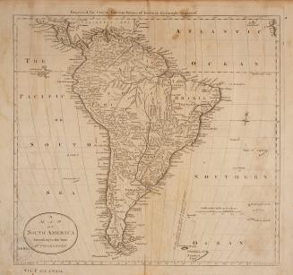
A map of South America, from the latest authorities
1795
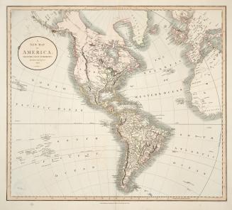
A new map of America, from the latest authorities
1806
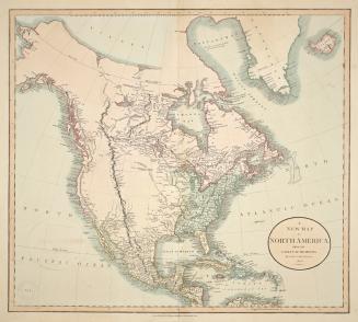
A new map of North America, from the latest authorities
1806
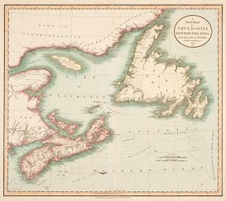
A new map of Nova Scotia, Newfoundland &c. from the latest authorities
1807
A new map of part of the United States of North America containing the Carolinas and Georgia, also the Floridas and part of the Bahama Islands &c. from the latest authorities
1806
A new map of part of the United States of North America containing those of New York, Vermont, New Hampshire, Massachusetts, Connecticut, Rhode Island, Pennsylvania, New Jersey, Delaware, Maryland and Virginia, from the latest authorities
1806
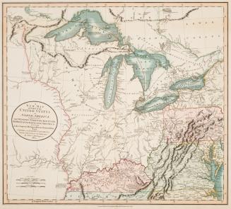
A new map of part of the United States of North America, exhibiting the Western Territory, Kentucky, Pennsylvania, Maryland, Virginia &c.
1805
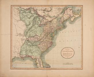
A new map of the United States of America from the latest authorities
1806
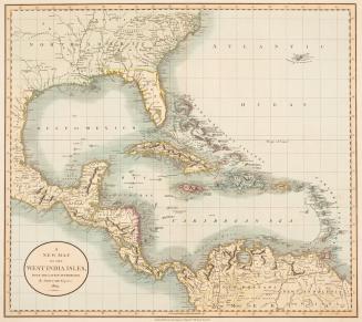
A new map of the West India Isles, from the latest authorities
1803
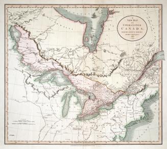
A new map of Upper & Lower Canada from the latest authorities
1807
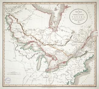
A new map of Upper & Lower Canada from the latest authorities
1811
/ 1
RDF
XML
JSON