Skip to main content
Digital Archive
Robert Sayer and John Bennett (Firm)
Close
Refine Results
Show Only Public Domain
Format
Map
(11)
Book
(2)
Date
to
Names
Robert Sayer and John Bennett (Firm)
(13)
Sayer, Robert, 1725-1794
(6)
Pownall, Thomas, 1722-1805
(4)
Bennett, John
(3)
Amherst, Jeffery Amherst, Baron, 1717-1797
(1)
Carver, Jonathan, 1710-1780
(1)
Holland, Samuel, 1728-1801
(1)
Mouzon, Henry, 1741-1807
(1)
Scull, Richard, active 1770-1778
(1)
R. Sayer and J. Bennett (Firm)
(1)
Load all
Subject
Maps
(12)
Colonies
(4)
Administrative and political divisions
(2)
Cartography
(2)
Discovery and exploration
(2)
History
(2)
Maps and surveys
(2)
Revolution, 1775-1783
(2)
British
(1)
Discoveries in geography
(1)
Load all
Collection
Baldwin Collection of Canadiana
(13)
City, town, township
Charleston
(2)
Montréal
(1)
Québec
(1)
Language
English
(13)
Sort:
Title (A–Z)
Date (Older First)
Date (Newer First)
Title (Z–A)
Last Updated (Ascending)
Last Updated (Descending)
List
Images
Table
/ 1
Filters
13 results
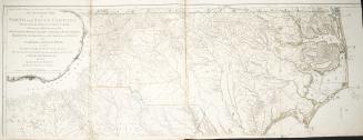
An accurate map of North and South Carolina with their Indian frontiers, shewing in a distinct manner all the mountains, rivers, swamps, marshes, bays(...)
1775
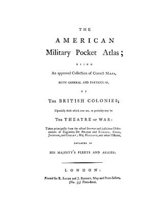
The American military pocket atlas, being an approved collection of correct maps, both general and particular, of the British colonies, especially tho(...)
1776
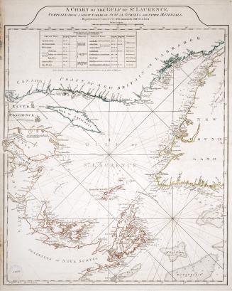
A chart of the Gulf of St. Laurence, composed from a great number of actual surveys and other materials, regulated and connected by astronomical observations
1775
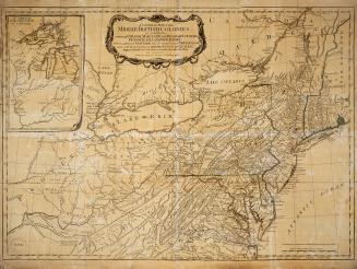
A general map of the middle British colonies, in America
1776
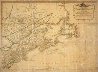
A general map of the northern British colonies in America
1776
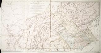
A map of Pennsylvania exhibiting not only the improved parts of that Province, but also it's extensive frontiers, laid down from actual surveys, and c(...)
1775
A new and correct map of North America, with the West India Islands divided according to the last Treaty of Peace, concluded at Paris, 10th Feb'y 1763, wherein are particularly distinguished the several provinces and colonies which compose the British Empire laid down according to the latest surveys, and corrected from the original materials of Governor Pownall, Member of Parliament, 1777
1777
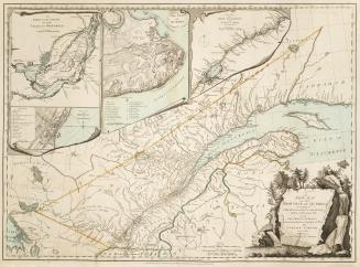
A new and map of the province of Québec according to the Royal Proclamation, of the 7th of October 1763, from the French surveys connected with those (...)
1776
Sailing directions for the North American pilot, containing the Gulph and River St
1782
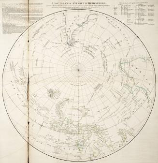
A Southern or Antarctic Hemisphere
Approximately 1773
A survey of Lake Champlain including Lake George Crown Point and St. John
1762
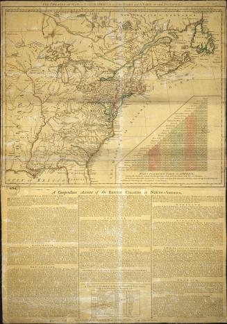
The theatre of war in North America, with the roads and a table of the distances
1776
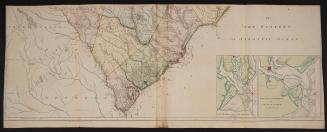
The Western or Atlantic Ocean
1775
/ 1
RDF
XML
JSON