Skip to main content
Digital Archive
Sayer, Robert, 1725-1794
Close
Refine Results
Show Only Public Domain
Format
Map
(12)
Date
to
Names
Sayer, Robert, 1725-1794
(12)
Robert Sayer and John Bennett (Firm)
(6)
Bennett, John
(5)
Robert Sayer (Firm)
(3)
Pownall, Thomas, 1722-1805
(3)
Holland, Samuel, 1728-1801
(2)
Jefferys, Thomas, -1771
(2)
Chabert, Joseph Bernard, marquis de, 1724-1805
(1)
Fleurieu, C. P. Claret (Charles Pierre Claret), comte de, 1738-1810
(1)
Cook, James, 1728-1779
(1)
Load all
Subject
Maps
(12)
Colonies
(4)
Nautical charts
(4)
Discovery and exploration
(3)
Navigation
(3)
Administrative and political divisions
(2)
Cartography
(2)
History
(2)
Revolution, 1775-1783
(2)
British
(1)
Load all
Collection
Baldwin Collection of Canadiana
(12)
City, town, township
Charleston
(1)
Language
English
(12)
Sort:
Title (A–Z)
Date (Older First)
Date (Newer First)
Title (Z–A)
Last Updated (Ascending)
Last Updated (Descending)
List
Images
Table
/ 1
Filters
12 results
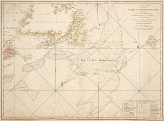
A chart of the banks of Newfoundland
1775
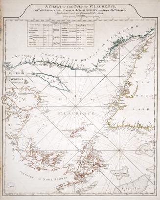
A chart of the Gulf of St. Laurence, composed from a great number of actual surveys and other materials, regulated and connected by astronomical observations
1775
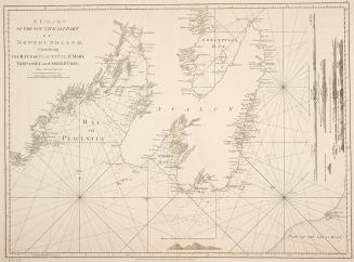
A chart of the south-east part of Newfoundland
1770
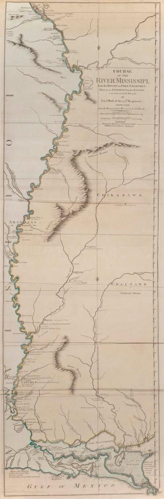
Course of the River Mississipi, from the Balise to Fort Chartres, Taken on an expedition to the Illinois, in the latter end of the Year 1765. By Lieut(...)
1772
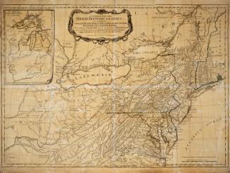
A general map of the middle British colonies, in America
1776
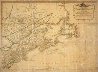
A general map of the northern British colonies in America
1776
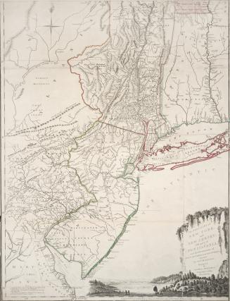
The provinces of New York, and New Jersey; with part of Pensilvania, and the governments of Trois Rivieres, and Montreal. Drawn by Capt. Holland. Engraved by Thomas Jefferys, geographer to His Majesty
1775
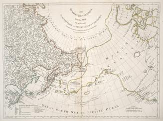
The Russian discoveries, from the map published by the Imperial Academy of St. Petersburg
1775
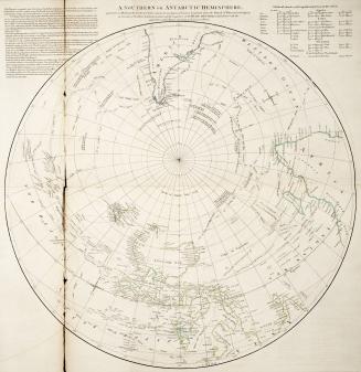
A Southern or Antarctic Hemisphere
Approximately 1773
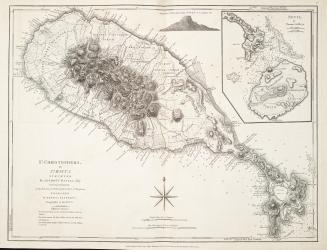
St. Christophers, or St. Kitts surveyed by Anthony Ravell Esq., Surveyor General of the lslands of St. Christopher, Nevis and Montserrat
1775
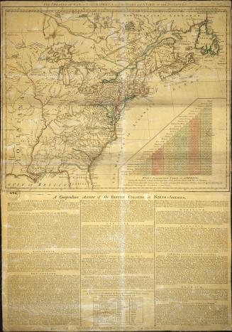
The theatre of war in North America, with the roads and a table of the distances
1776
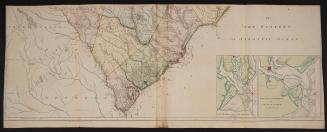
The Western or Atlantic Ocean
1775
/ 1
RDF
XML
JSON