Skip to main content
Digital Archive
Smyth, David William, Sir, 1764-1837
Close
Refine Results
Show Only Public Domain
Format
Map
(16)
Manuscript
(6)
Book
(5)
Picture
(2)
Ephemera
(1)
Date
to
Names
Smyth, David William, Sir, 1764-1837
(30)
Chewitt, William, 1753-1849
(8)
Russell, Peter, 1733-1808
(4)
Prior & Dunning
(2)
W. Faden
(2)
Fraser, Alexander, 1860-1936
(1)
Faden, William
(1)
La Rochefoudault-Liancourt, François-Alexandre-Frédéric, duc de, 1747-1827. Travels through Canada, 1795
(1)
Faden, William, 1750-1836
(1)
Henderson, Robert, -1811
(1)
Load all
Subject
Maps
(19)
Dwellings
(7)
Land subdivision
(7)
Land use
(5)
Description and travel
(4)
Estates
(4)
Maps and surveys
(4)
Travel writing
(4)
Gazetteers
(3)
Archives
(1)
Load all
Collection
Baldwin Collection of Canadiana
(28)
Archives of Ontario
(1)
Toronto Reference Library
(1)
City, town, township
Toronto
(10)
Hamilton
(2)
Neighbourhood
St. Lawrence
(6)
Harbour
(3)
Dundas (Hamilton, Ontario)
(2)
Financial District
(2)
Railway Lands
(2)
Financial District||Harbour||St. Lawrence
(1)
King-Spadina
(1)
Language
English
(30)
Sort:
Title (A–Z)
Date (Older First)
Date (Newer First)
Title (Z–A)
Last Updated (Ascending)
Last Updated (Descending)
List
Images
Table
/ 2
Next
Filters
30 results
Carte de la province du Haut-Canada, décrivant tous les étabissements, cantons, etc
1800
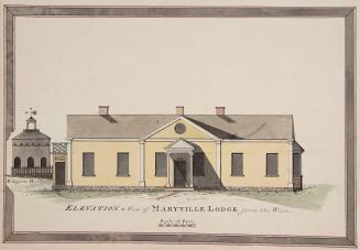
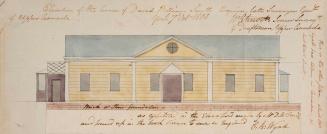
Elevation & View of Maryville Lodge from the West
1802
A gazetteer of the province of Upper Canada, to which is added an appendix describing the principal towns, fortifications and rivers in Lower Canada
1813
A gazetteer of the province of Upper Canada, to which is added an appendix describing the principal towns, fortifications and rivers in Lower Canada
1813
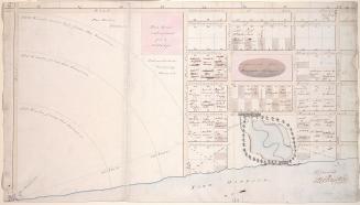
His Honor the Presdt approval of the town plot of York. 2nd addition
1798
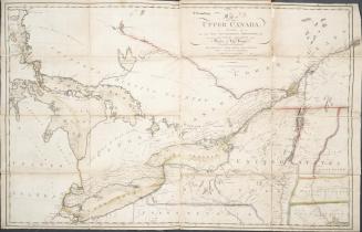
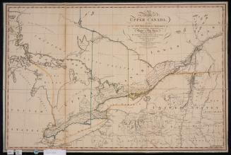
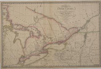
A map of the province of Upper Canada describing all the new settlements and townships &c. with the countries adjacent from Québec to Lake Huron
1800
A map of the province of Upper Canada describing all the settlements and townships &c. with the countries adjacent from Quebec to Lake Huron
1818
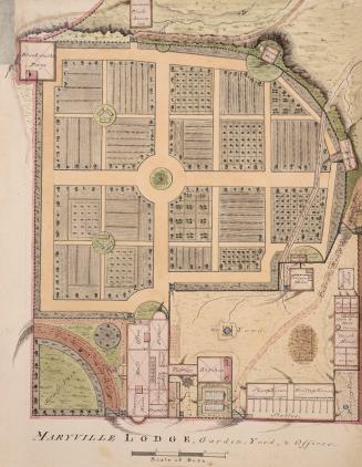
Maryville Lodge, Garden, Yard & Offices
1802
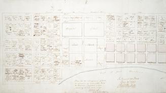
Plan for the enlargement of York, as amended by Order of His Honor the President projected in lots containing an acre more or less.
1797
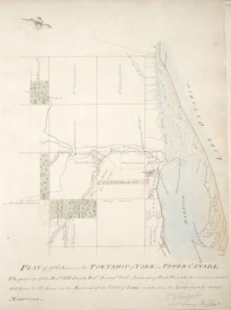
Plan of 916 1/4 acres, in the Township of York in Upper Canada
1802
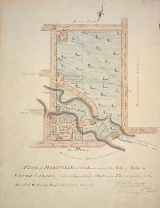
Plan of Maryville, at the east end of the City of York in Upper Canada, containing about 16 1/4 acres - the property of the Honble. D.W. Smith Esqre. Surveyor General
1802
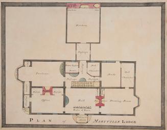
Plan of Maryville Lodge
1802
Plan of Maryville Lodge
1802
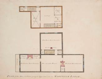
Plan of the attic and underground appartments in Maryville Lodge.
1802
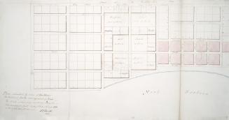
Plan submitted by Order of His Honor the President for the enlargement of York.
1797
Plan submitted by Order of His Honor the President for the enlargement of York
1797
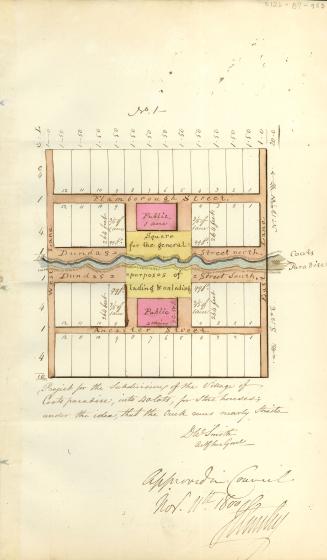
Project for the subdivision of the village of Coots Paradise into 40 lots for store houses under the idea that the creek runs nearly strait
1800
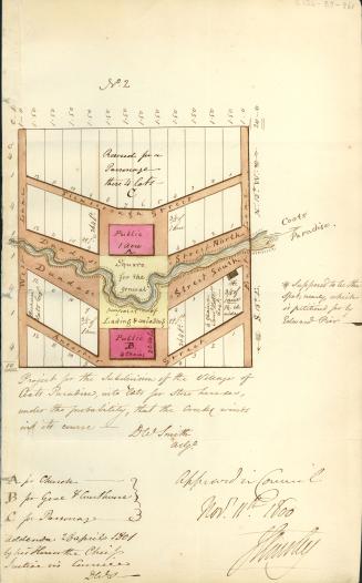
Project for the subdivision of the village of Coots Paradise into lots for store houses under the probability that the Creek winding its course
1800
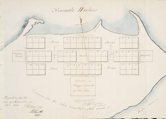
Projection for the town of Newcastle in acre lots
1797
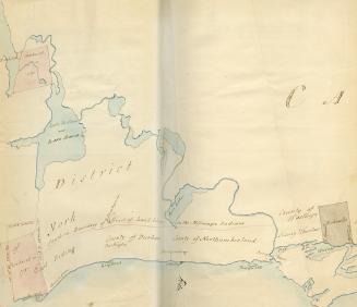
Purchases from the Indians in 1787, the Mohawks land and boundary of the lands of the Mississauga Indians
1787
/ 2
Next
RDF
XML
JSON