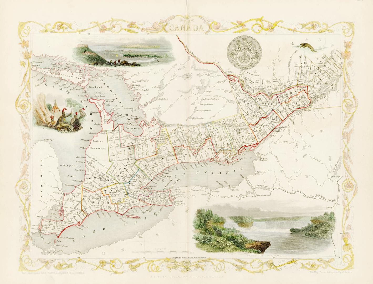

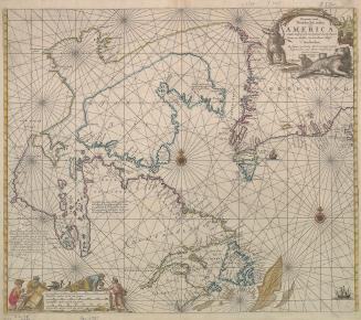
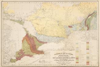
West Canada
Date1851
Names
J & F Tallis
(publisher)
Rapkin, John, 1815-1876
(cartographer)
Wallis, Robert
(engraver)
Warren, H.
(illustrator)
Rapkin, John, 1815-1876
(engraver)
FormatMap
NotesFrom Tallis' Illustrated World Atlas, one of the last series of decorative world maps ever produced.
Subject
Medium
Dimensions27.7 cm x 36.5 cm (10 7/8 in. x 14 3/8 in.)
ScaleBar scale (miles)
Language
ProvenanceGift of Kate & Alec Parley
CollectionBaldwin Collection of Canadiana
Usage Rights
Public Domain
(Learn More)
Call Number / Accession Number912-713-R12
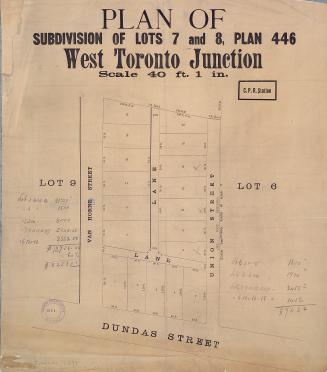
Approximately 1870
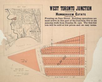
Approximately 1870
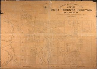
Approximately 1870