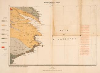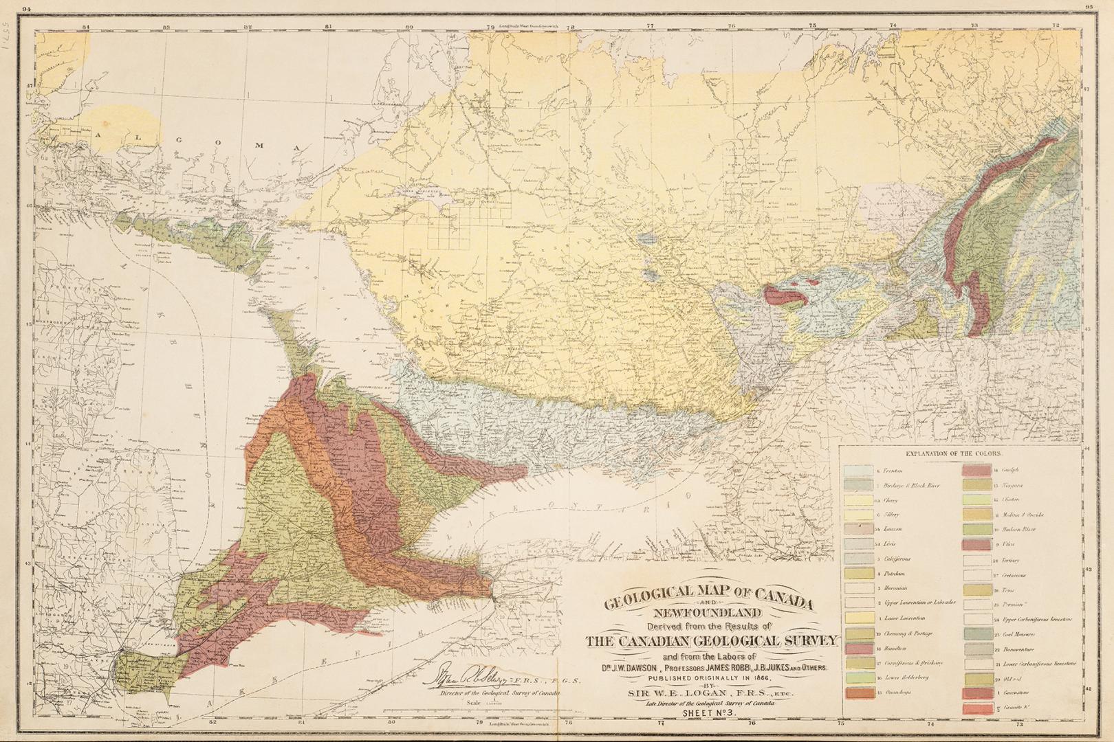

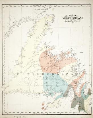
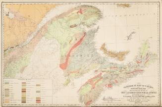
Geological Map of Canada and Newfoundland
DateApproximately 1870
Names
Dr. J.W. Dawson
(contributor)
Geological Survey of Canada
(author)
Professors James Robb, J.B. Jukes and Others
(contributor)
Selwyn, Alfred Richard Cecil, 1824-1902
(contributor)
Logan, William E. (William Edmond), Sir, 1798-1875
(contributor)
FormatMap
NotesMap was derived from results of the Canadian Geological Survey and from the labours of Dr. J.W. Dawson, Professors James Robb, J.B. Jukes and others, published originally in 1866 by Sir W.E. Logan F.R.S. etc. late director of the Geological Survey of Canada.
Subject
Medium
Dimensions33.5 cm x 40.1 cm (13 3/16 in. x 15 13/16 in.)
ScaleBar scale
Language
CollectionBaldwin Collection of Canadiana
Usage Rights
Public Domain
(Learn
More)
Object Number557-1-L57-11-PART-2-SMALL
Dewey557.1 L57.11 Part 2 SMALL
Approximately 1870
Approximately 1870