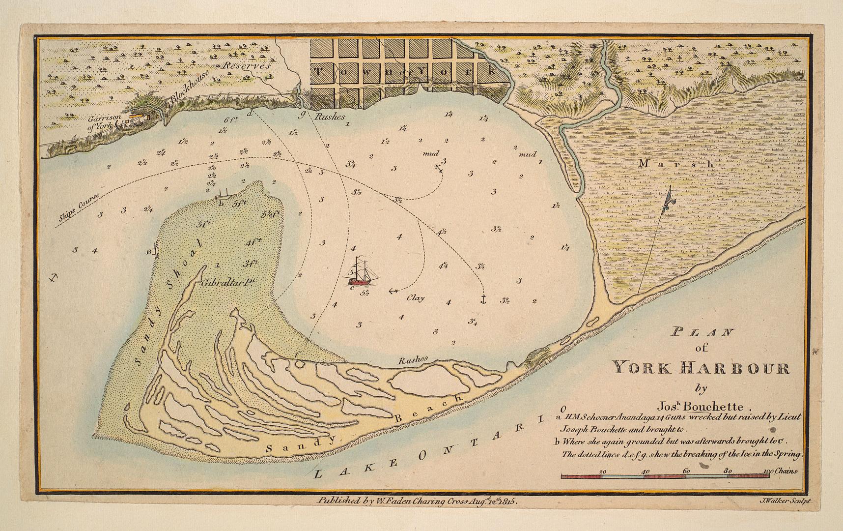

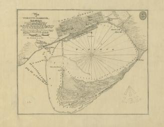
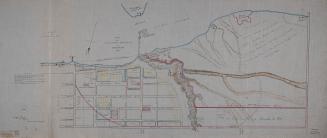
Plan of York Harbour
Date1815
Names
Bouchette, J. (Joseph), 1774-1841
(cartographer)
W. Faden, Charing Cross
(publisher)
J. Walker
(engraver)
FormatMap
Dimensions13 x 22 cm
ScaleApproximately 1:35,000
ScaleBar scale (chains)
Language
CollectionBaldwin Collection of Canadiana
Usage Rights
Public Domain
(Learn
More)
Object NumberT-1815-FOLD
Approximately 1908
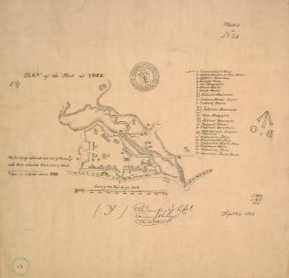
Approximately 1908
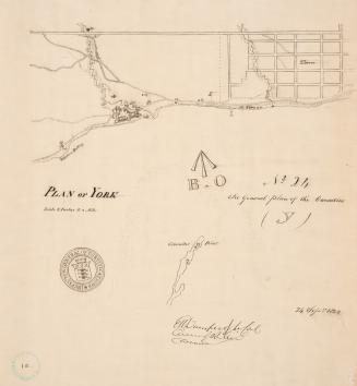
Approximately 1908
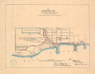
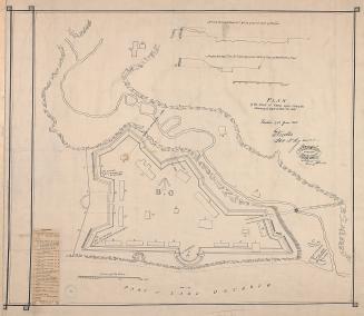
27 June 1908