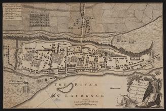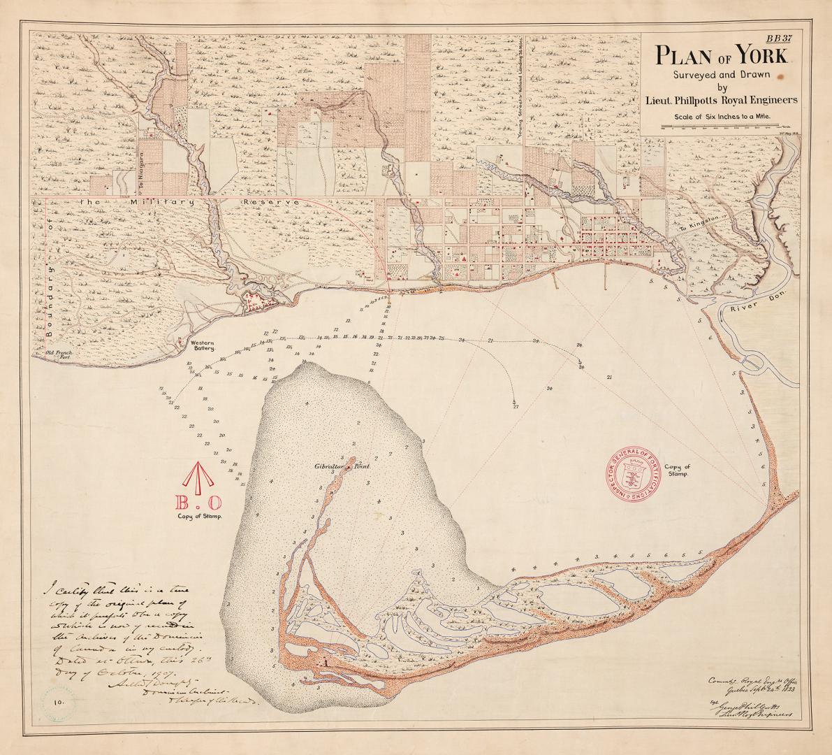

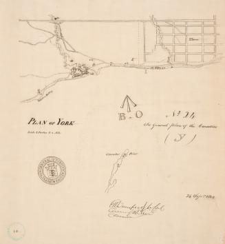
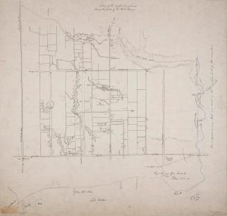
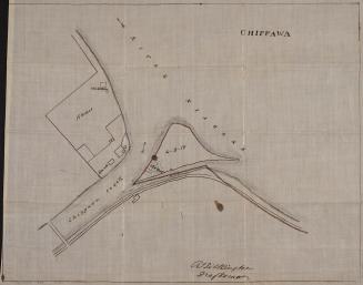
(1818) Plan of York surveyed and drawn by Lieut. Phillpotts Royal Engineers
Date1907
Names
Philpotts, George, -1853
(cartographer)
Robertson, J. Ross (John Ross), 1841-1918
(contributor)
Royal Engineers Office (Quebec)
(contributor)
FormatMap
NotesApproximately 1907 reproduction of original 1818 map. Certified in Ottawa, 26th day of October, 1907 by Arthur G. Doughty, Dominion Archivist and Keeper of the records, Dominion Archives (current day Library and Archives Canada).
Dimensions68 cm x 74.5 cm (26 3/4 in. x 29 5/16 in.)
Language
ProvenanceGift of John Ross Robertson (JRR collection #10)
CollectionBaldwin Collection of Canadiana
Usage Rights
Public Domain
(Learn More)
Object NumberT-1818-2-LARGE
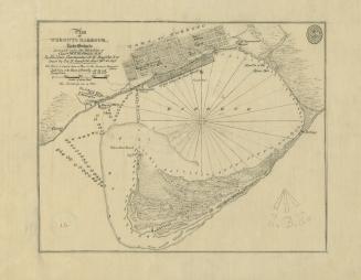
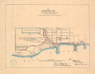
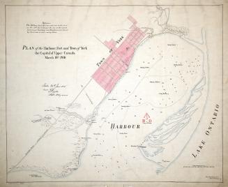
Approximately 1908
Approximately 1908
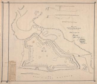
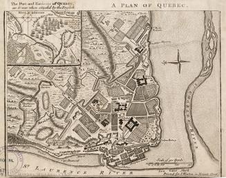
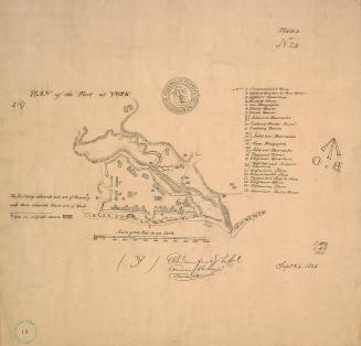
1759
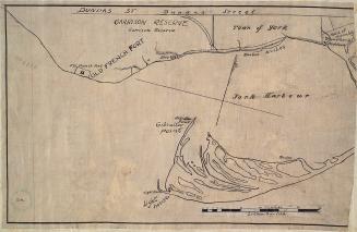
Approximately 1908
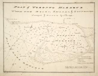
Approximately 1910