
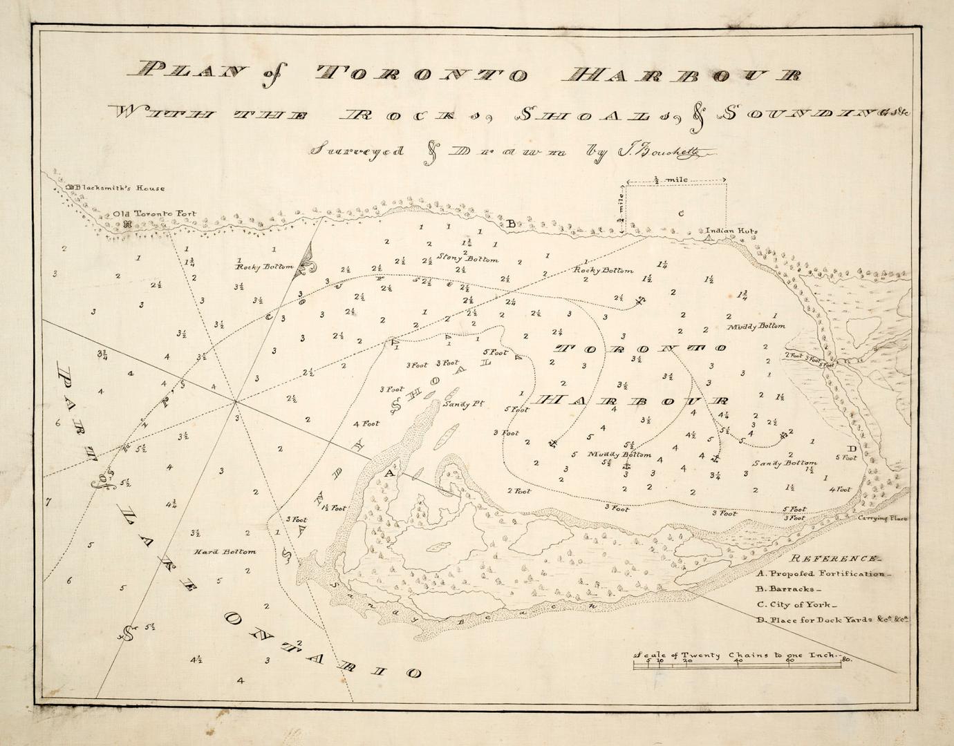

Plan of Toronto Harbour with the rocks, shoals & Soundings
Date1792
Names
Bouchette, J. (Joseph), 1774-1841
(cartographer)
Bouchette, J. (Joseph), 1774-1841
(surveyor)
Bouchette, J. (Joseph), 1774-1841
(draftsman)
FormatMap
Dimensions45.5 x 58 cm
ScaleOne inch = Twenty chains
Language
CollectionBaldwin Collection of Canadiana
Usage Rights
Public Domain
(Learn
More)
Object NumberT-1792-SMALL
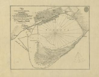
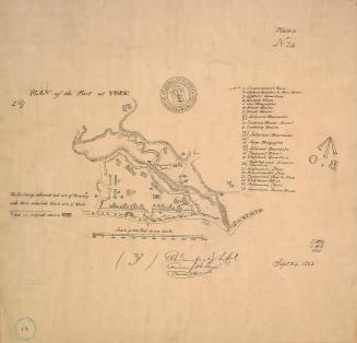
Approximately 1908
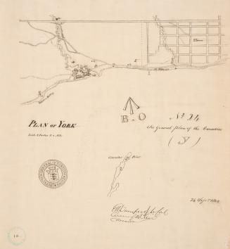
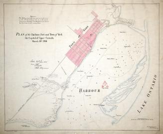
Approximately 1908
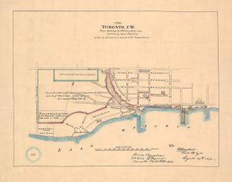
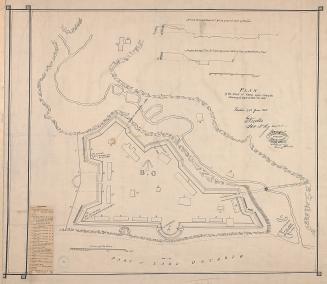
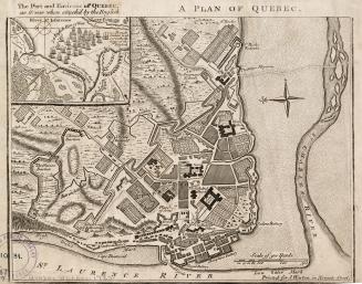
1759
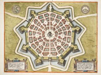
Approximately 1600
![No. 1 plan of commandant's quarters [1823]](/internal/media/dispatcher/2109868/thumbnail)
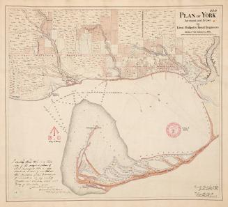
Approximately 1908
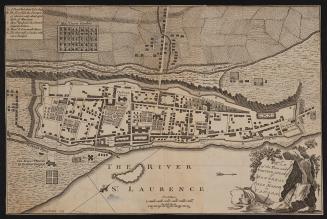
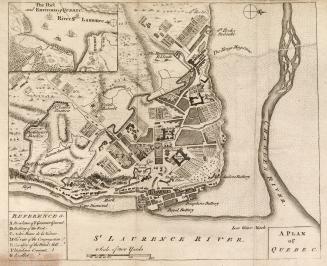
1759