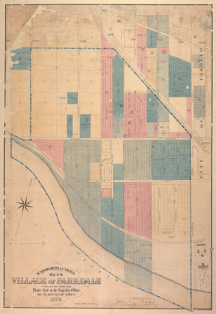

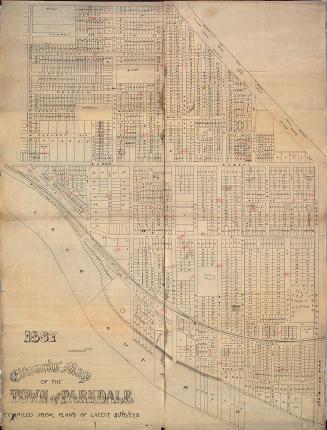
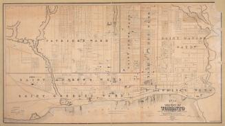
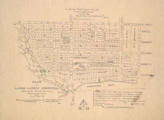
Wadsworth & Unwin's map of the village of Parkdale compiled and drawn from plans filed in the registry office and the most recent surveys
Date1879
Names
Rolph, Smith & Co.
(lithographer)
Wadsworth & Unwin
(cartographer)
Format
Note: Number of registered plans shown thus 333.
Dimensions78 cm x 114.5 cm (30 11/16 in. x 45 1/16 in.)
Scale1 inch = 200 feet
Language
CollectionBaldwin Collection of Canadiana
Usage Rights
Public Domain
(Learn More)
Call Number / Accession NumberT-1879-LARGE
Country:Canada
City, town or township:Toronto
Neighbourhood:Parkdale
Province or state:Ontario
Approximately 1908