
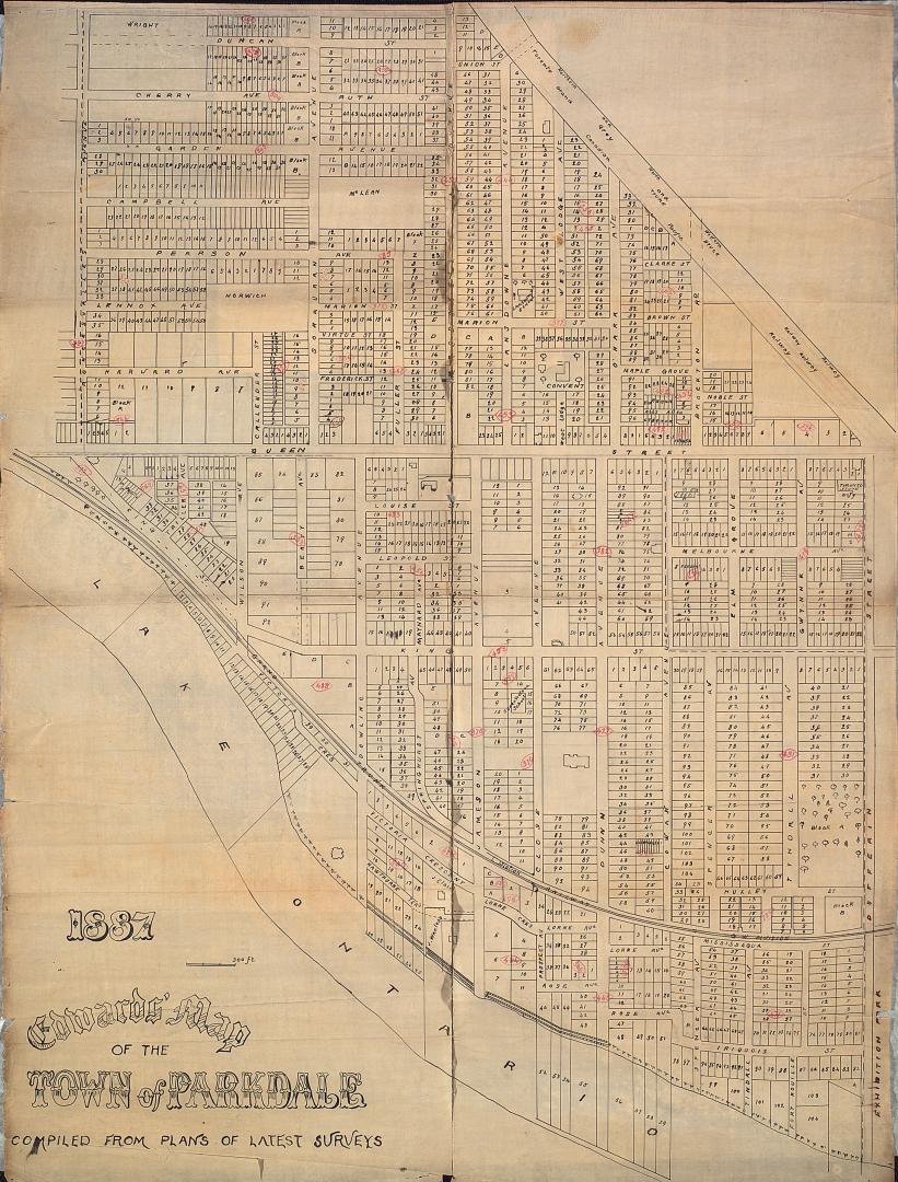

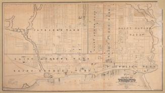
Edwards' map of the town of Parkdale compiled from plans of latest surveys
Date1887
Names
Star Eng. Co. (Toronto, Ont.)
(publisher)
Unknown
(cartographer)
Star Eng. Co. (Toronto, Ont.)
(engraver)
Format
Dimensions62 cm x 48 cm (24 7/16 in. x 18 7/8 in.)
Scale1 inch = 275 feet
Language
CollectionBaldwin Collection of Canadiana
Usage Rights
Public Domain
(Learn More)
Call Number / Accession NumberT-1887-1-SMALL
Country:Canada
City, town or township:Toronto
Neighbourhood:Parkdale
Province or state:Ontario
![(1788) Plan of Torento [sic] Harbour with the proposed town and part of the settlement, Québec 6th Dec. 1788, Gothermann, Capn. Commandg. Rl. Engrs. Colonial Correspondence Canada (Québec) 1790 no. 47 Plan B](/internal/media/dispatcher/2237612/thumbnail)
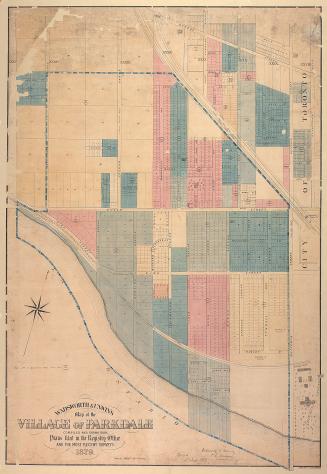
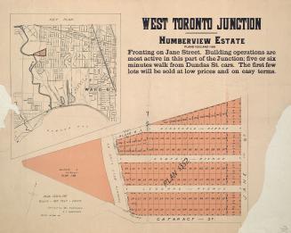
Approximately 1910
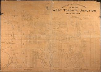
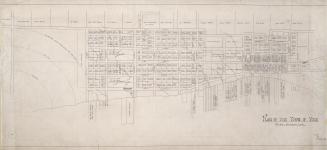
Approximately 1908