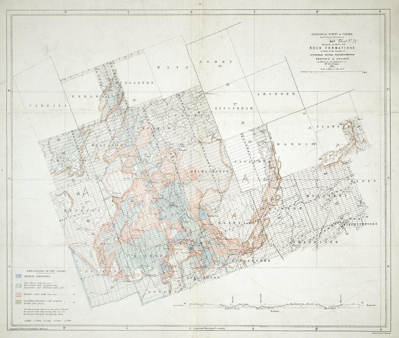

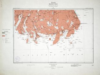
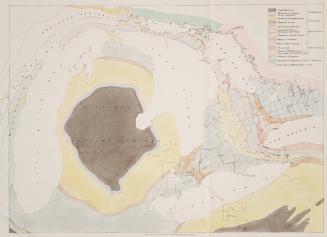
Map showing the distribution of the rock formations in parts of the counties of Peterborough, Hastings, Addington & Frontenac, Province of Ontario to (...)
Date1868
Names
Barlow, Scott
(compiler)
Burland Lithographic Co.
(contributor)
Geological Survey of Canada
(author)
Sir W.E. Logan E.R.S. Director
(contributor)
FormatMap
NotesMap showing the distribution of the rock formations in parts of the counties of Peterborough, Hastings, Addington & Frontenac, Province of Ontario to illustrate the exploration of Mr. H.G. Vennor, 1868
Medium
DimensionsScale 4 miles = 1 inch; 49 x 56 cm
Language
CollectionBaldwin Collection of Canadiana
Usage Rights
Public Domain
(Learn
More)
Object Number557-13-C12-SMALL
Dewey557.13 C12 SMALL
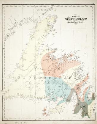
Approximately 1870
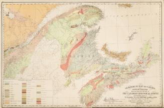
Approximately 1870
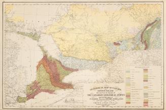
Approximately 1870
Approximately 1850