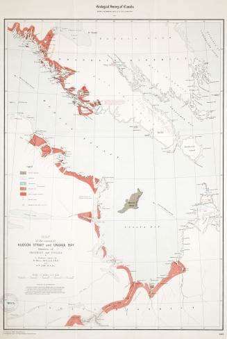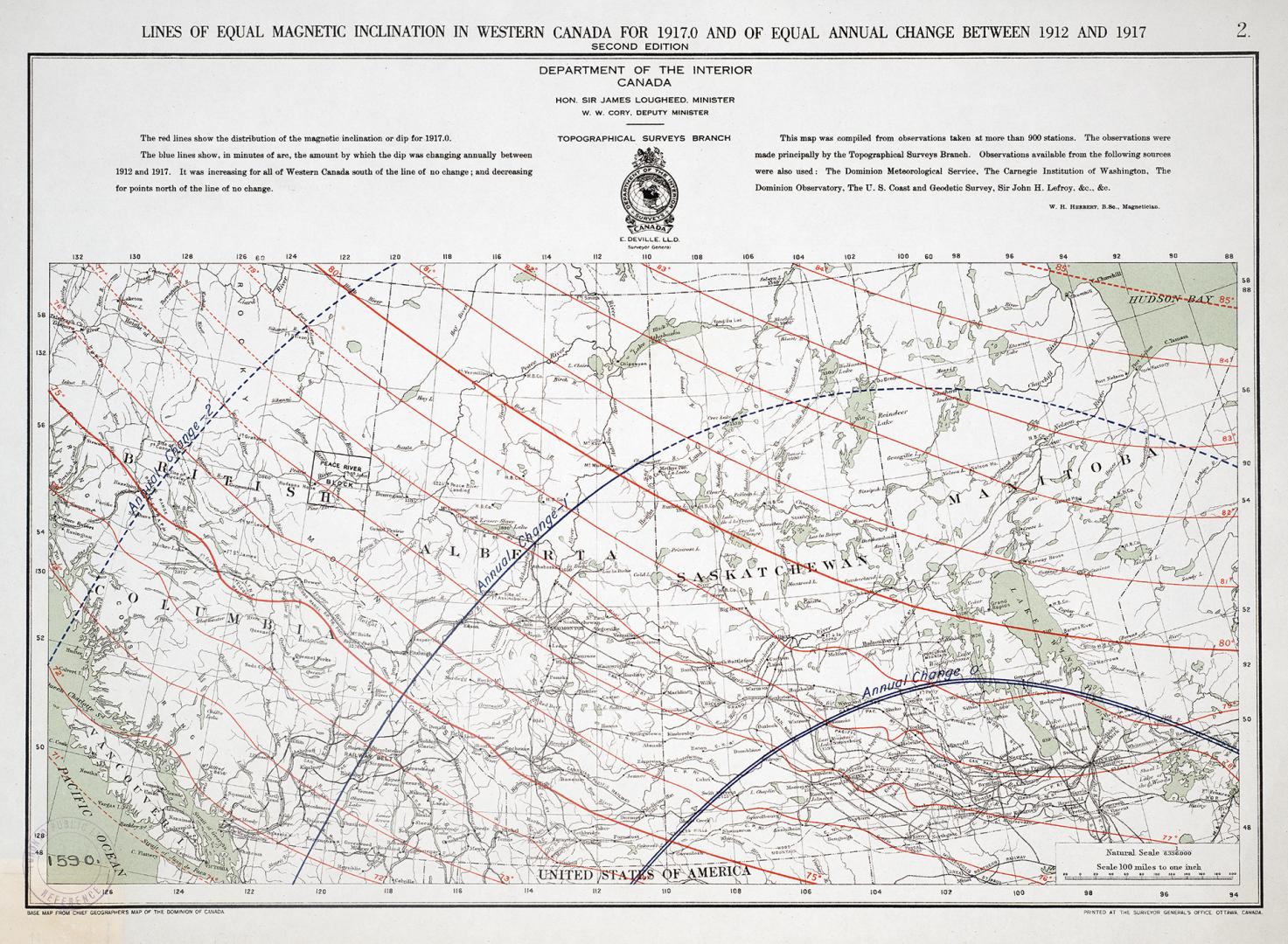

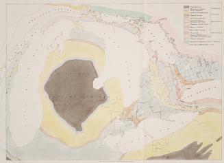
Lines of equal magnetic inclination in western Canada for 1917
Date1917
Names
Canada. Department of the Interior
(publisher)
Canada. Surveys and Mapping Branch
(publisher)
Cory, William Wallace
(contributor)
Lougheed, James A. (James Alexander), 1854-1925
(contributor)
FormatMap
NotesPrinted at the Surveyor General's Office, Ottawa, Canada. Second Edition. Topographical Surveys Branch. Map 2 of 3.
Medium
Dimensions33 x 45 cm
Scale1 inch = 100 miles
Language
CollectionBaldwin Collection of Canadiana
Usage Rights
Public Domain
(Learn More)
Object Number538-7-C12-2-SMALL
Dewey538.7 C12.2 SMALL
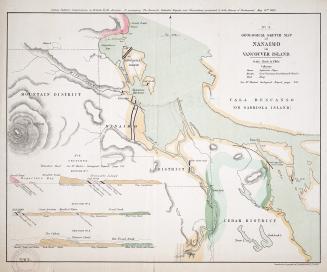
Approximately 1870
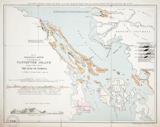
Approximately 1870
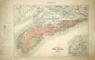
Approximately 1870
Approximately 1850