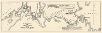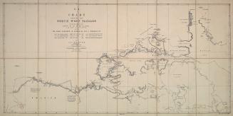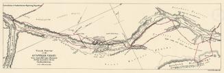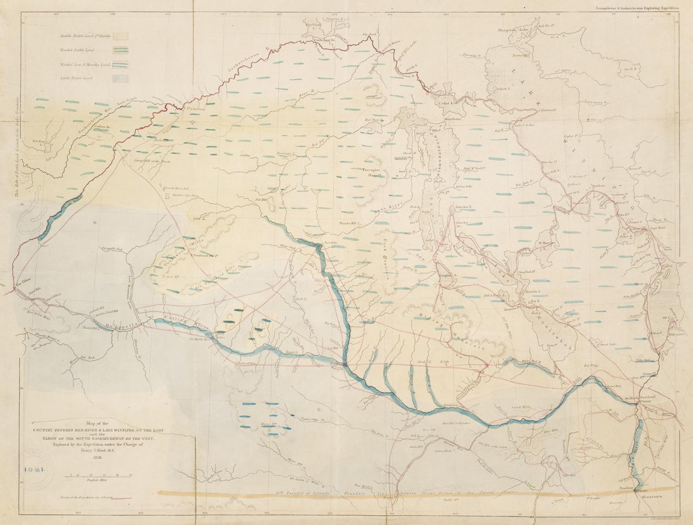

Map of the country between Red River & Lake Winnipeg on the east elbow of the South Saskatchewan, on the west, explored by the expedition under the charge of Henry Y. Hind, M.A.
Date1858
Names
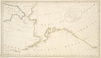
Arrowsmith, John, 1790-1873
(author)
Hind, Henry Youle, 1823-1908
(subject)
Format
Medium
Dimensions41.5 x 55.5 cm.
Language
CollectionBaldwin Collection of Canadiana
Usage Rights
Public Domain
(Learn More)
Call Number / Accession Number912-712-A73-SMALL
Dewey Number912.712 A73 SMALL