
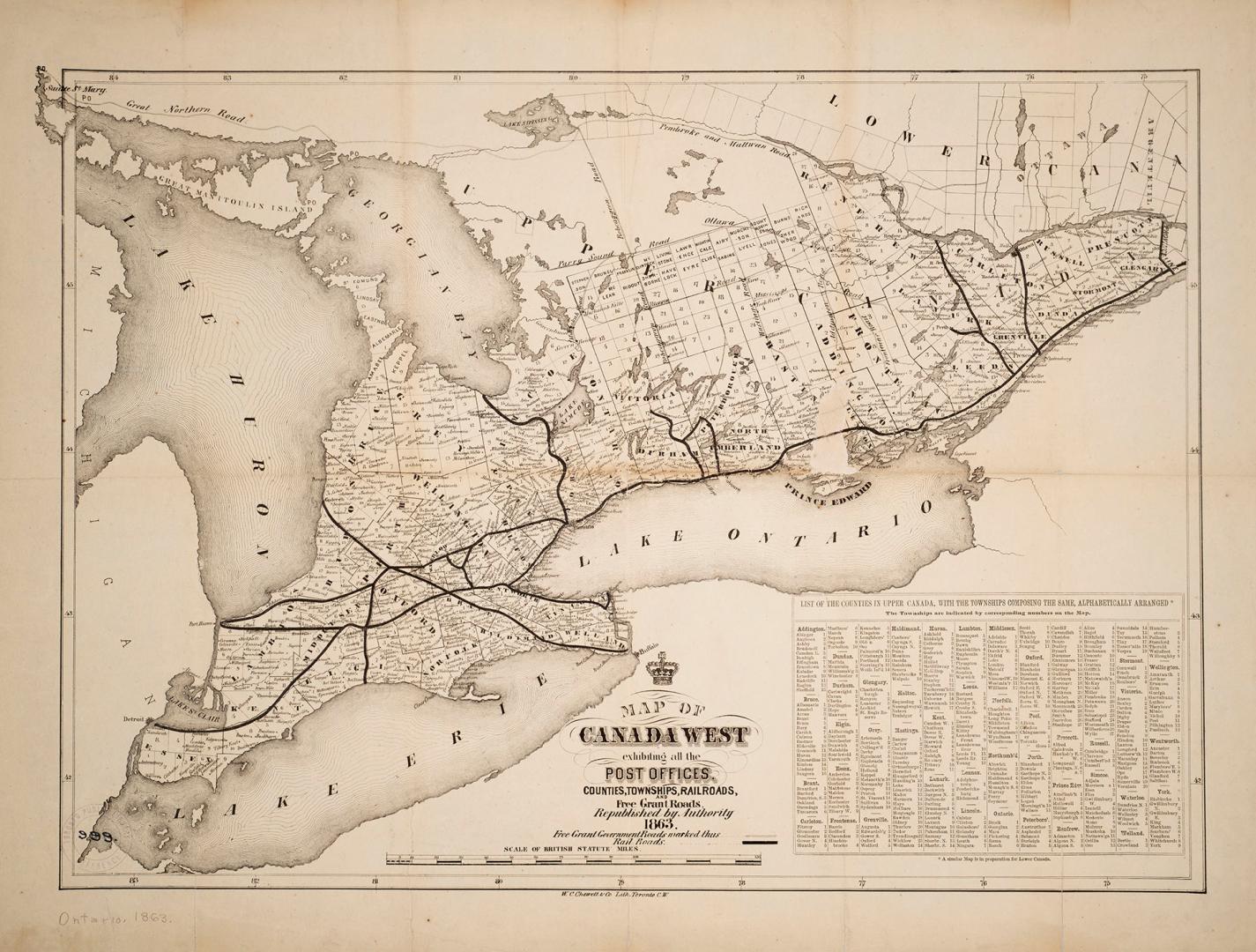

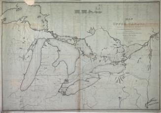
Map of Canada West exhibiting all the post offices, counties, railroads, and free grant roads, republished by authority 1863
Date1863
Names
W.C. Chewett & Co.
(author)
FormatMap
Subject
Medium
Dimensions45 x 58 cm
Language
CollectionBaldwin Collection of Canadiana
Usage Rights
Public Domain
(Learn
More)
Object Number912-713-C342-SMALL
Dewey912.713 C342 SMALL

Approximately 1872