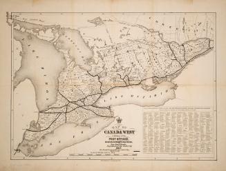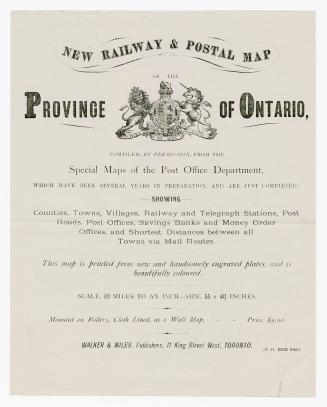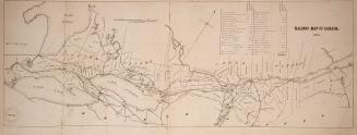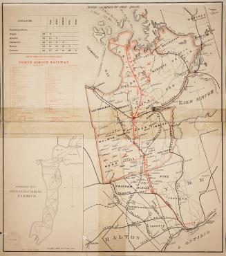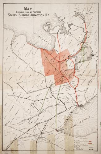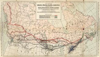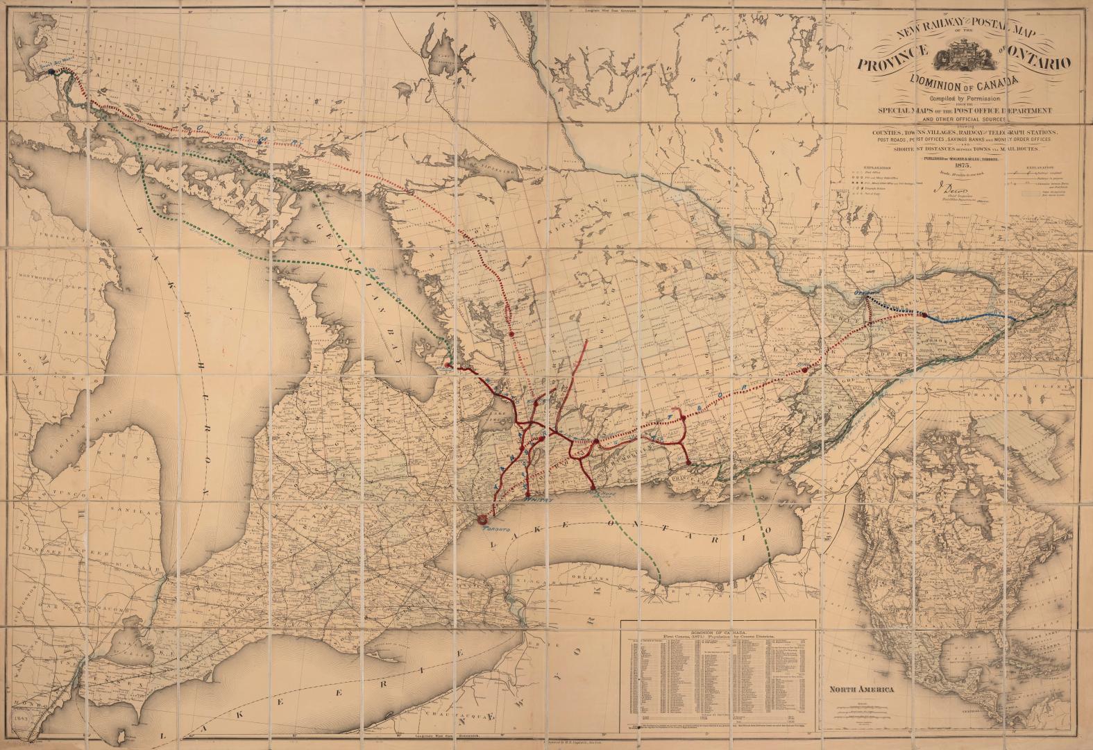

New railway and postal map of the Province of Ontario, Dominion of Canada : compiled by permission from the special maps of the Post Office Department and other officical sources showing counties, towns, villages, railways and telegraph stations, post roads, post offices, savings banks and money order offices and short distances between towns via mail routes
Date1875
Names
Walker & Miles (Toronto, Ont.)
(publisher)
FormatMap
NotesJ. Dewe, Chief inspector, Post Office Department, Ottawa.
Subject
Dimensions97 cm x 140 cm (38 3/16 in. x 55 1/8 in.)
Scaleca 1:633 600
Language
CollectionBaldwin Collection of Canadiana
Usage Rights
Public Domain
(Learn
More)
Object Number912-713-W11-FRAGILE-FOLD
Dewey912.713 W11 (Fragile Fold)