
Toronto
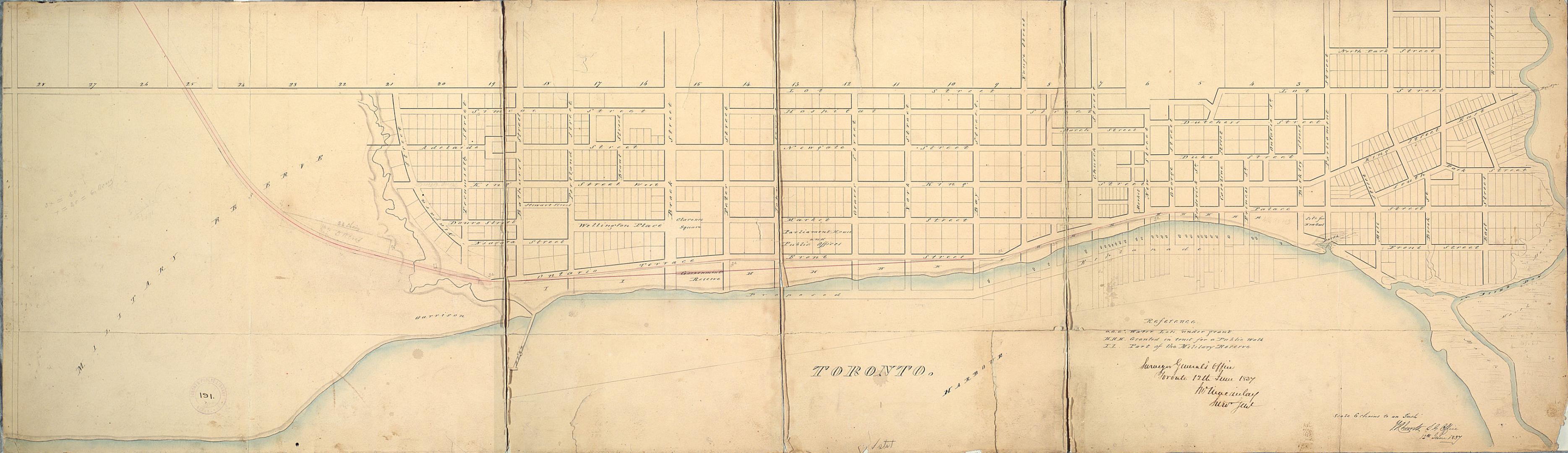
Date1837
Names
Chewett, James G. (James Grant), 1793-1862
(cartographer)
Macaulay, John, 1792-1857
(author)
FormatMap
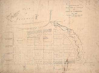
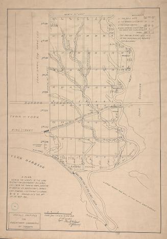
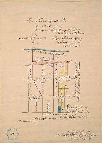
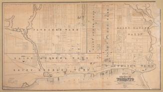
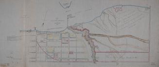
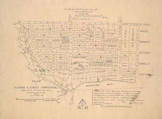
NotesPlan of Toronto from the Military Reserve to the Don River, north to Lot St. (Queen St.), showing streets and lots.
GeographyNeighbourhoodExhibitionGarrisonFinancial DistrictKing-SpadinaHarbourSt. LawrenceRailway Lands
Dimensions38 cm x 132 cm (14 15/16 in. x 51 15/16 in.)
Scale1 inch = 6 chains
Language
CollectionBaldwin Collection of Canadiana
Usage Rights
Public Domain
(Learn
More)
Object NumberMsX.1921.2
27 June 1908
Approximately 1908