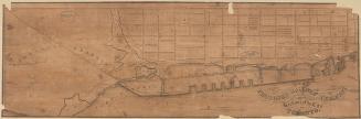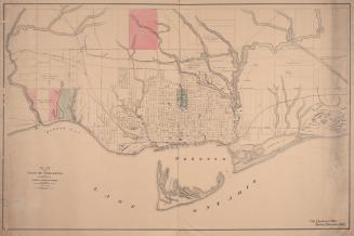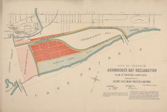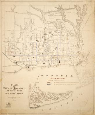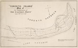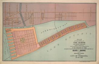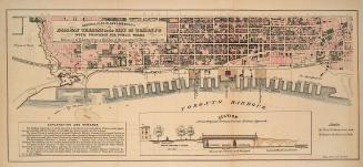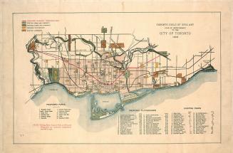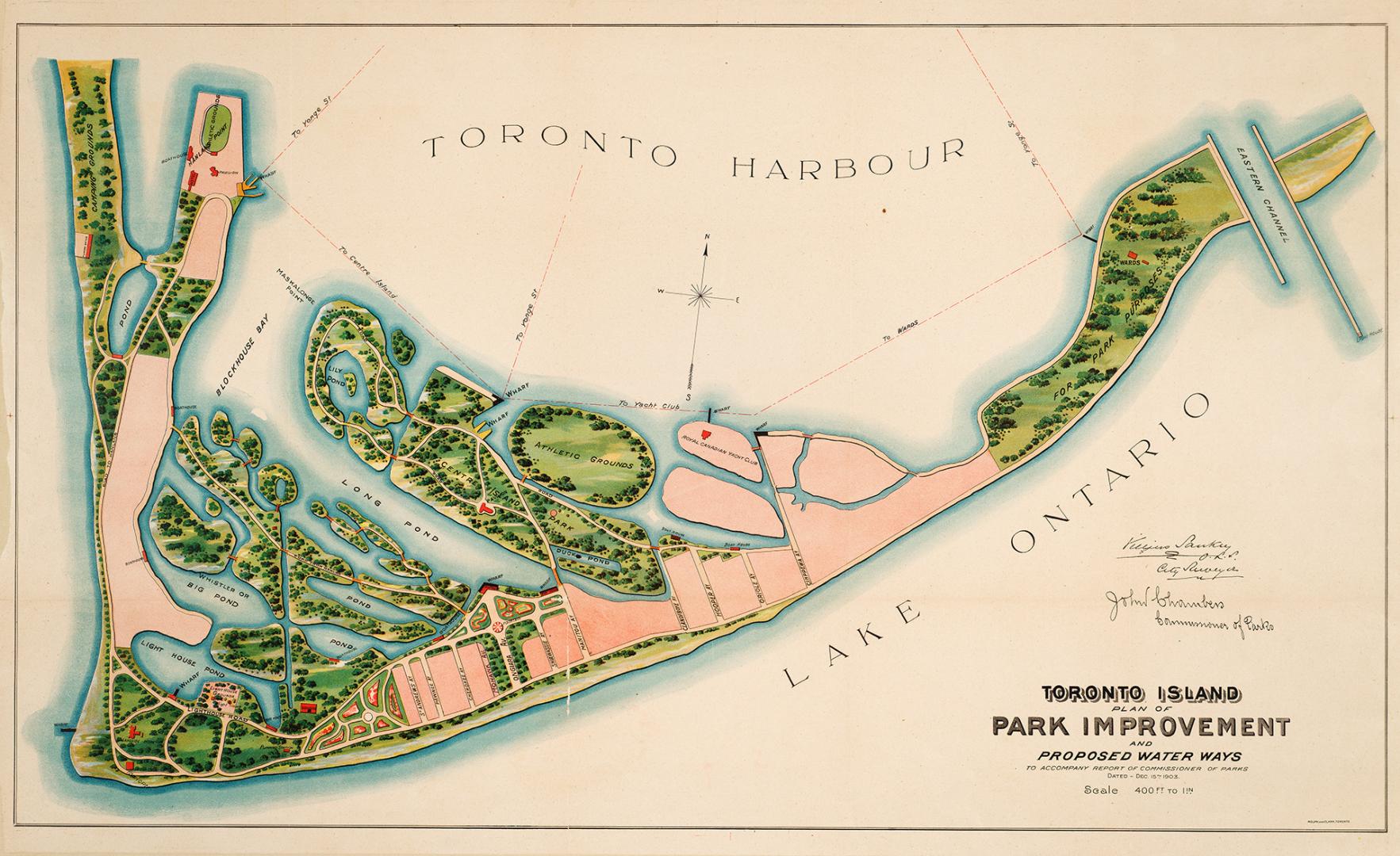

Toronto Island, plan of park improvement and proposed water ways to accompany a report of commissioner of parks, dated Dec. 15th, 1903
Date1903
Names
Chambers, John (Commissioner of Parks)
(contributor)
Rolph and Clarke
(publisher)
Villiers Sankey, City Surveyor
(cartographer)
Rolph and Clark
(lithographer)
FormatMap
Dimensions55 cm x 90 cm (21 5/8 in. x 35 7/16 in.)
Scale1 inch = 400 feet
Language
CollectionBaldwin Collection of Canadiana
Usage Rights
Public Domain
(Learn
More)
Object NumberT-1903-LARGE