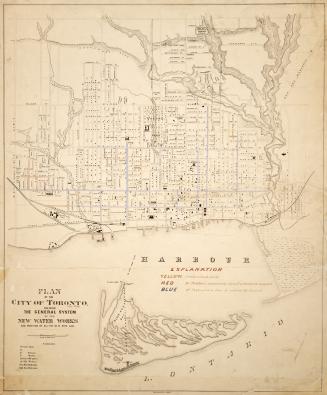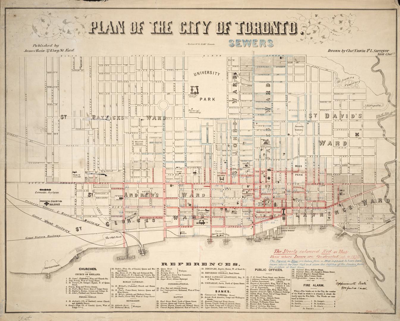

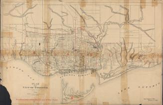
Plan of the city of Toronto
Date1858
Names
Format
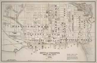
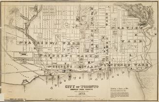
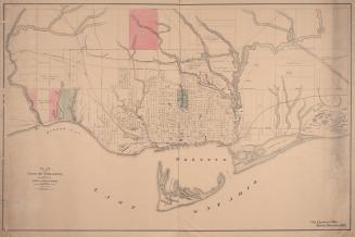
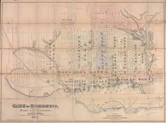
Plan shows Toronto from Dovercourt to the Don River and Bloor St. south to the lakefront. Churches, banks and public offices are referenced, as well as the fire alarms for the wards. Manuscript annotations indicate where sewers have been laid up to 1875 and note the depths of sewers at certain points. Approximate scale noted in manuscript.
Dimensions50 cm x 64 cm (19 11/16 in. x 25 3/16 in.)
ScaleApproximate scale 1 inch = 800 feet
Language
CollectionBaldwin Collection of Canadiana
Usage Rights
Public Domain
(Learn More)
Call Number / Accession NumberMs1921.9
Country:Canada
City, town or township:Toronto
Province or state:Ontario
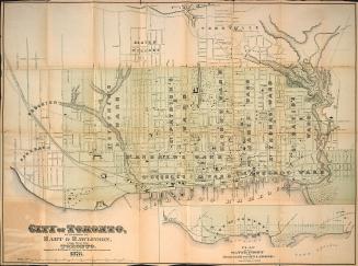
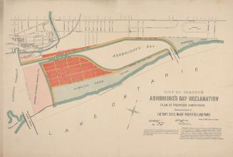
1878