Skip to main content
Digital Archive
Expand
Share
Order Reproduction
Download
1920 x auto
(full)
IIIF
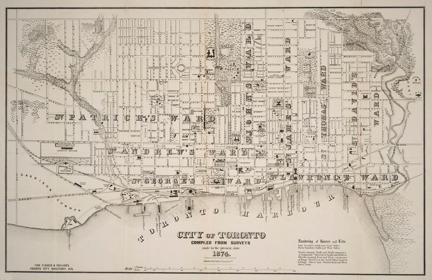
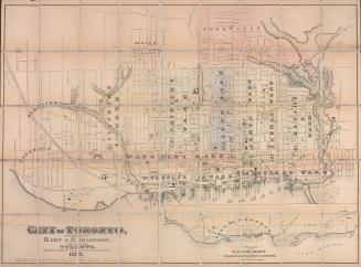
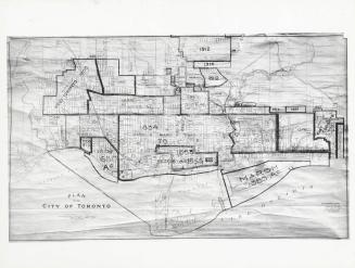
City of Toronto compiled from surveys made to the present date 1874
Previous
Next
1920 x auto
(full)
City of Toronto compiled from surveys made to the present date 1874
Date
1874
Names
Copp Clark Company
(lithographer)
Copp Clark Company
(publisher)
Fisher & Taylor
(contributor)
Format
Map
Subject
Maps and surveys
Roads
Election districts
Maps
Geography
City, town, township
Toronto
Geography
Province state
Ontario
Geography
Country
Canada
Medium
City maps
Road maps
Dimensions
48 x 75 cm
Language
English
Collection
Baldwin Collection of Canadiana
Usage Rights
Public Domain (
Learn More
)
Object Number
T-1874-2-SMALL
RDF
XML
JSON
Discover More
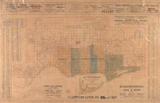
City of Toronto compiled from surveys made to the present date, 1873
1873
Plan of the city of Toronto, Canada West, 1857
1857
Hart & Rawlinson's Map of the City of Toronto, with Suburbs of Yorkville, Parkdale, Seaton Village, Brockton, and Ben-Lamond
1878
City of Toronto
1878
Plan of the city of Toronto
1858
Plan of the city of Toronto
1892
Plan of the City of Toronto and suburbs shewing new & old ward divisions
1891
Correct map of the City of Toronto published for the Toronto City Directory
1892
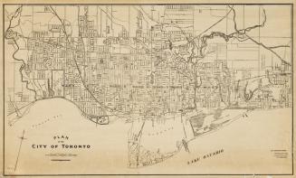
Plan of the City of Toronto
1910
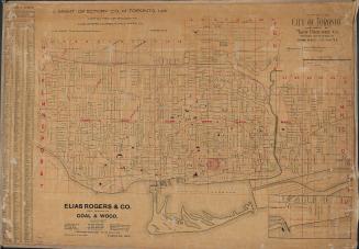
Map of the city of Toronto published by Might Directory Co. prepared in the office of John Galt, C. E. and M. E.
1895
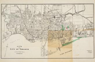
Plan of the City of Toronto.
1911
Plan of the City of Toronto, with additions up to 1925
1930 circa