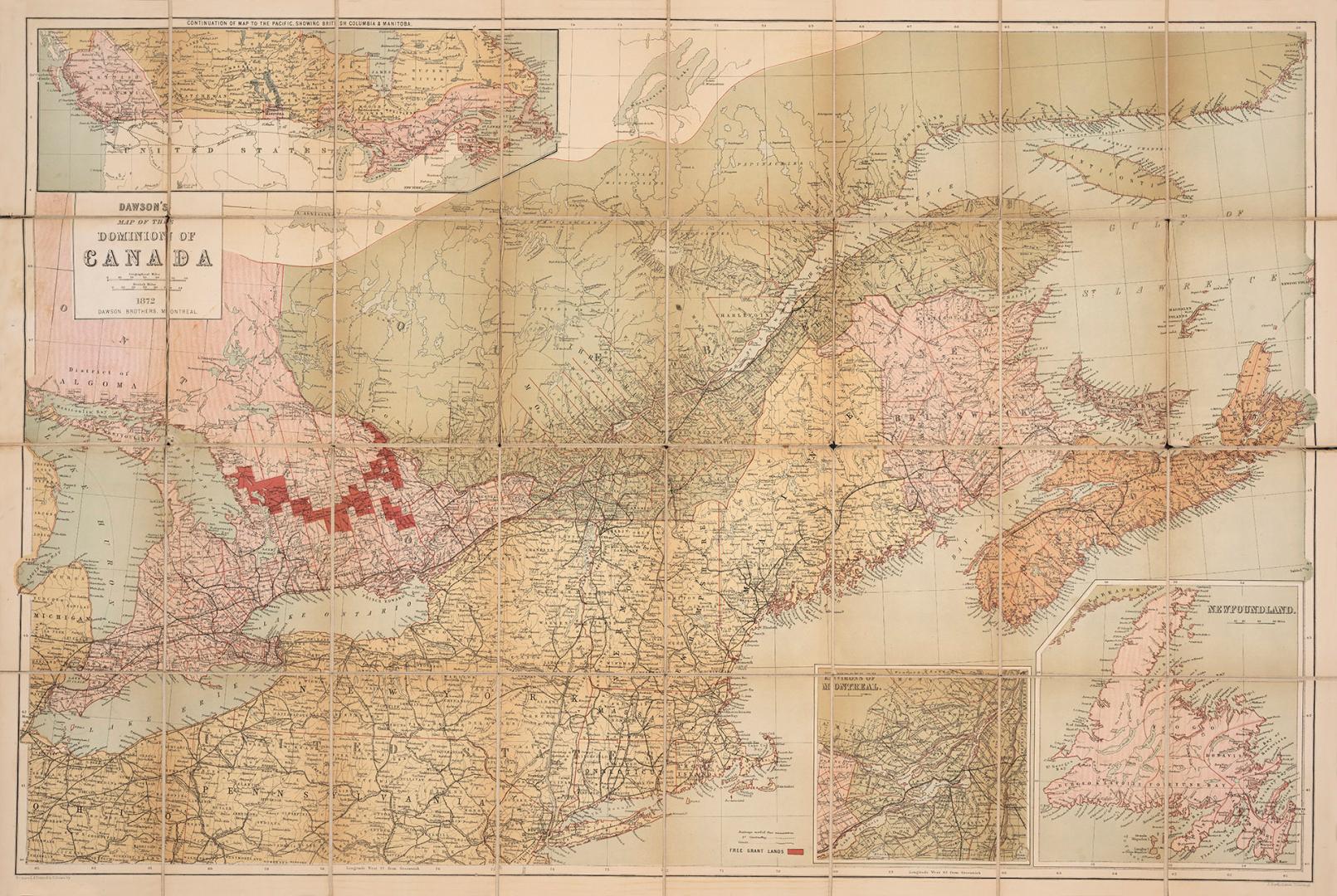

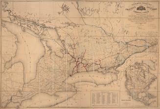
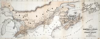
Dawson's map of the Dominion of Canada
Date1872
Names
Bartholomew, John, 1831-1893
(engraver)
Dawson Brothers
(publisher)
FormatMap
NotesIncludes inset maps of Newfoundland and Montreal. Shows county divisions and free land grants in eastern Canada and railway and canals in Canada and Northeastern United States.
Subject
Medium
Dimensions57 cm x 84.5 cm (22 7/16 in. x 33 1/4 in.)
Language
CollectionBaldwin Collection of Canadiana
Usage Rights
Public Domain
(Learn
More)
Object Number912-71-D136-11
Dewey912.71 D136.11
![The Dominion map [W. A. James, Esq., Enfield] I beg to inform you that the new Dominion map is fully completed](/internal/media/dispatcher/2045046/thumbnail)
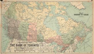
Approximately 1910
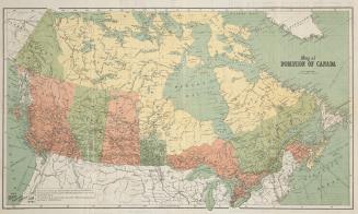
Approximately 1906