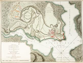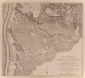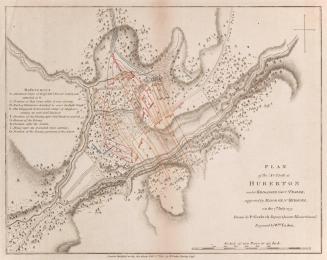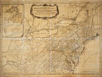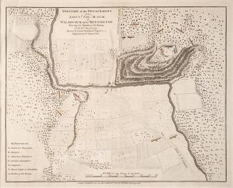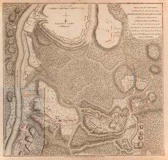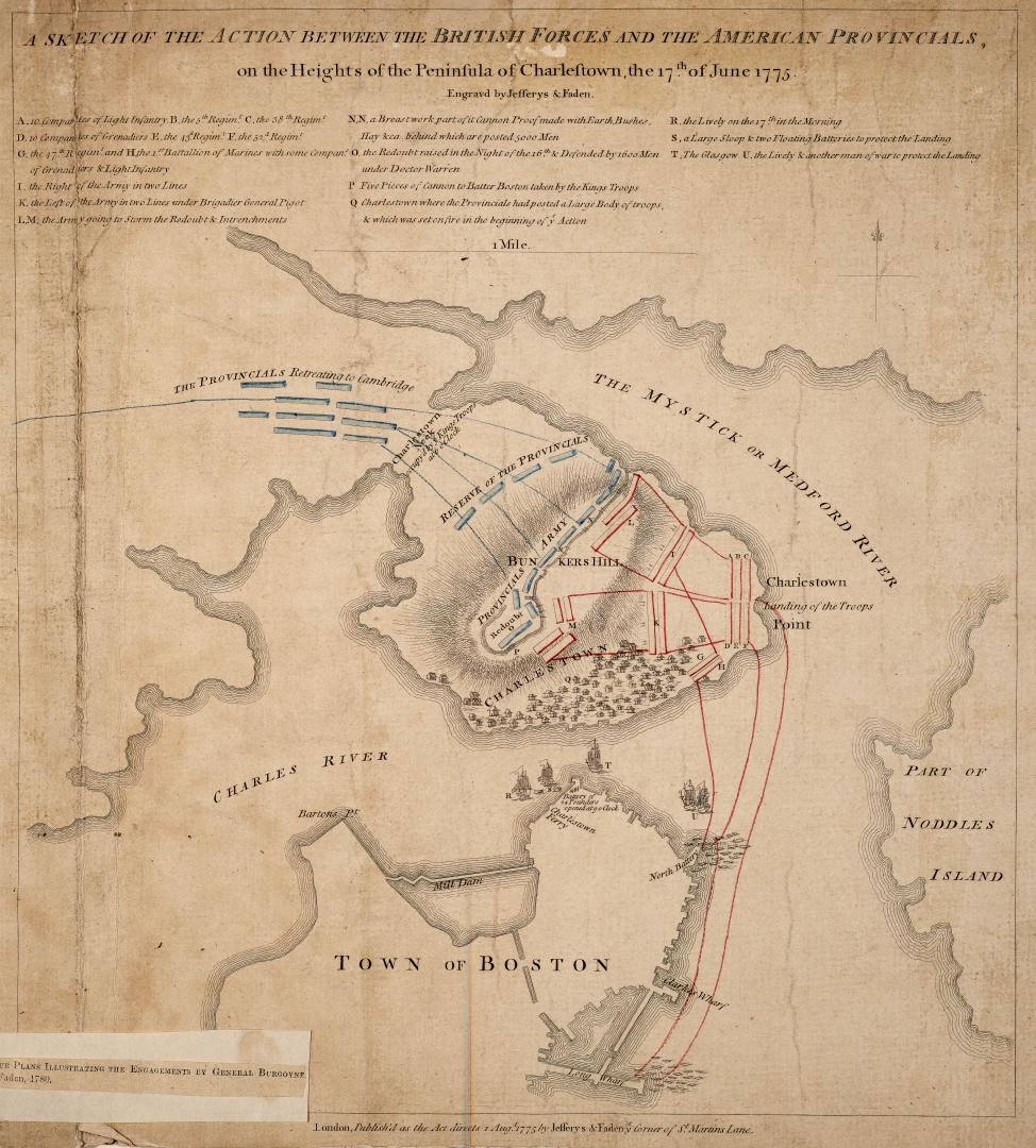

A sketch of the action between the British forces and the American provincials, on the Heights of the Peninsula of Charlestown, the 17th of June 1775
Date1775
Names
Faden William, 1749-1836
(engraver)
Jefferys & Faden
(publisher)
Jefferys, Thomas, -1771
(engraver)
Burgoyne, John, 1722-1792
(subject)
FormatMap
NotesPart of four plans illustrating the engagements by General Burgoyne, Faden 1780
Dimensions35.5 cm x 31.5 cm (14 in. x 12 3/8 in.)
Scale4.5 " = 1 mile
Language
ProvenanceGift of James Bain family, 2008
CollectionBaldwin Collection of Canadiana
Usage Rights
Public Domain
(Learn More)
Object Number912-74461-F11-BAIN
Dewey912.74461 F11 (Bain map drawer)