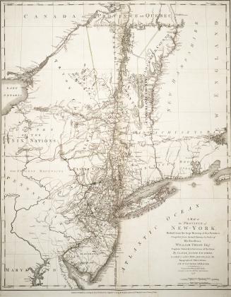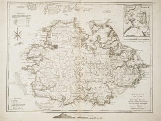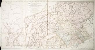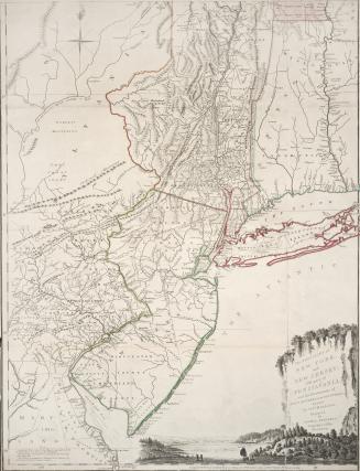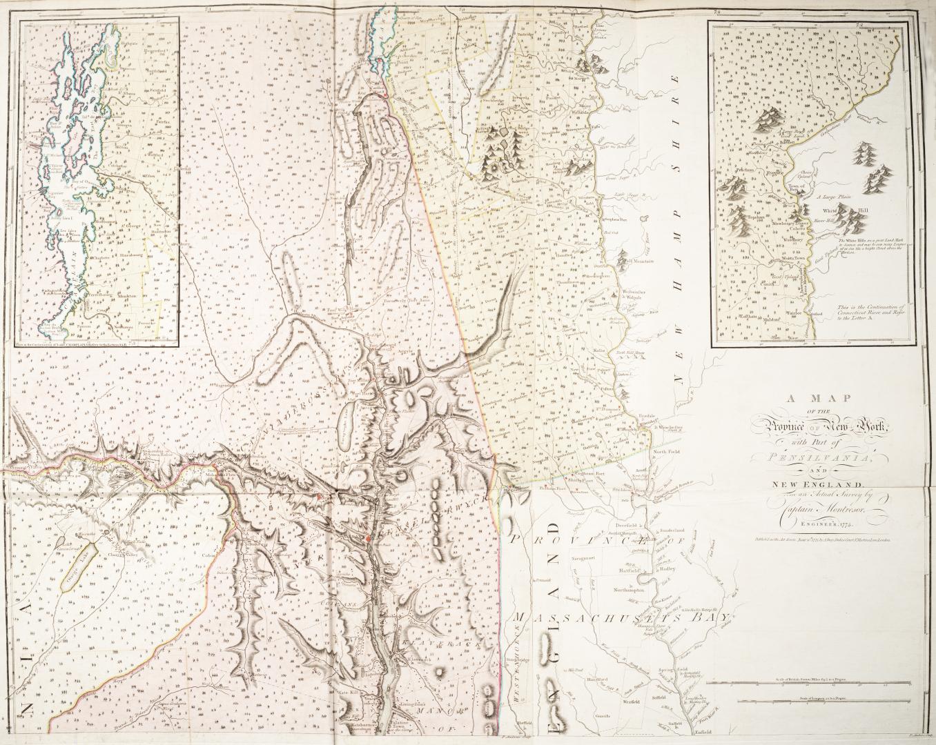

A map of the province of New York, with part of Pensilvania and New England from an actual survey by Captain Montresor, Engineer
Date1775
Names
Format
North section of map. South section has been digitized separately.
Insets of Continuation of Lake Champlain and Continuation of Connecticut River; Dedicated to the Right Honourable Sir Jeffery Amherst Knight of the Bath and Lieutenant General of his Majesty's Forces
Insets of Continuation of Lake Champlain and Continuation of Connecticut River; Dedicated to the Right Honourable Sir Jeffery Amherst Knight of the Bath and Lieutenant General of his Majesty's Forces
Dimensions75 cm x 94 cm (29 1/2 in. x 37 in.)
Scale5 miles to 1 inch
Language
ProvenanceGift of James Bain family, 2008
CollectionBaldwin Collection of Canadiana
Usage Rights
Public Domain
(Learn More)
Call Number / Accession Number912-74-M58-BAIN
Dewey Number912.74 M58 (Bain map drawer)
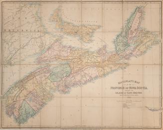
Country:United States
Province or state:New York
Region or district:New England