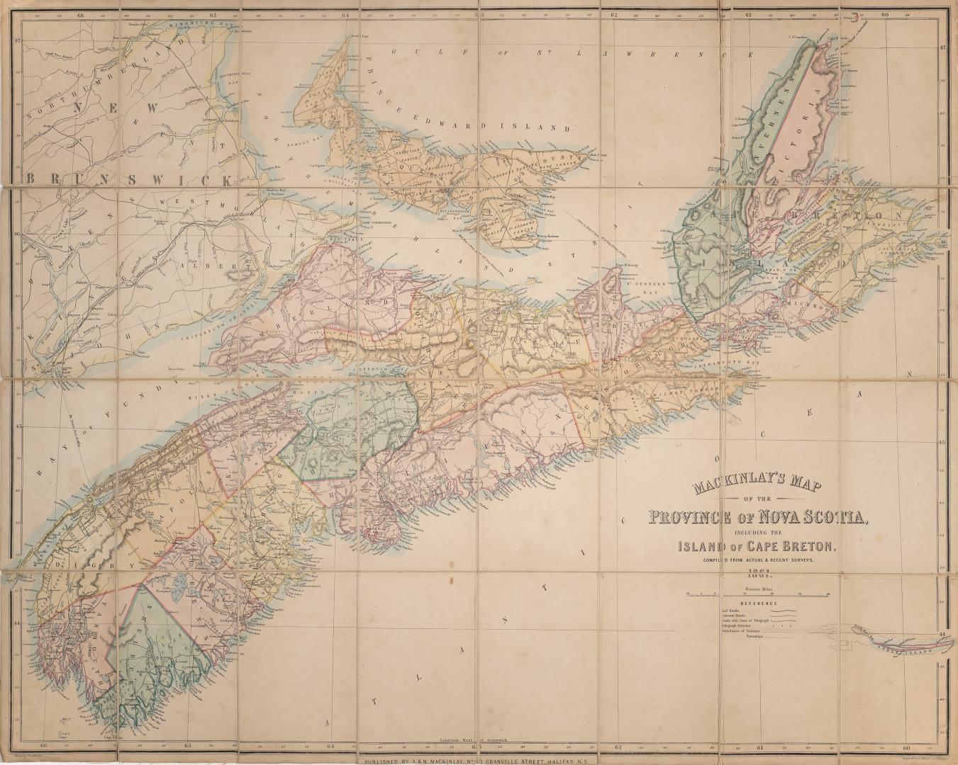

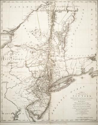
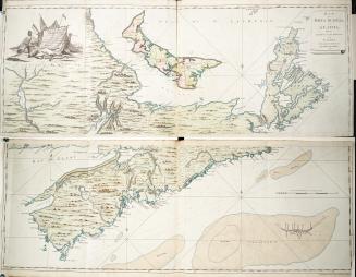
MacKinlay's map of the province of Nova Scotia including the island of Cape Breton compiled from actual & recent surveys
Date1861
Names
A. & W. Mackinlay (Firm)
(publisher)
A. & W. Mackinlay (Firm)
(author)
Hendry, W. A.
(illustrator)
Philip, G. & Son
(engraver)
FormatMap
Medium
Dimensionsca 1 inch to 18 miles : 80 x 100 cm
Language
CollectionBaldwin Collection of Canadiana
Usage Rights
Public Domain
(Learn
More)
Object Number912-716-M108-1861-FOLD
Dewey912.716 M108 1861 Fold
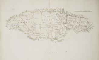
Approximately 1760