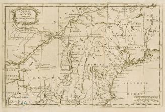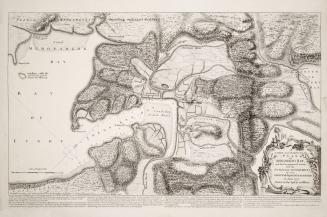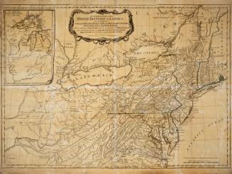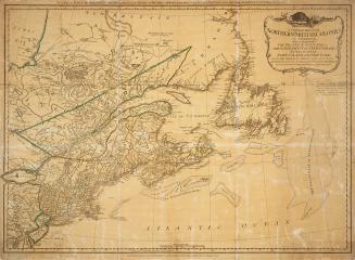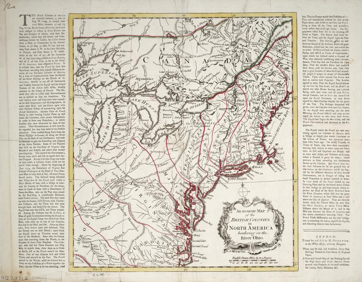

An accurate map of the British Colonies in North America bordering on the River Ohio
DateApproximately 1760
Names
Overton, Henry, 1706-1764
(publisher)
Overton, Henry, 1706-1764
(bookseller)
Format
Text panels describe actions of Lieutenant Colonel George Washington in a battle with the French along the Ohio River.
Medium
Dimensions39 cm x 50.5 cm (15 3/8 in. x 19 7/8 in.)
Scale69 English statute miles= Degree
Language
CollectionBaldwin Collection of Canadiana
Usage Rights
Public Domain
(Learn More)
Call Number / Accession Number912-7-O81-2-SMALL
Dewey Number912.7 O81.2 small
Country:Canada||United States
Geograhical feature:Ohio River Valley