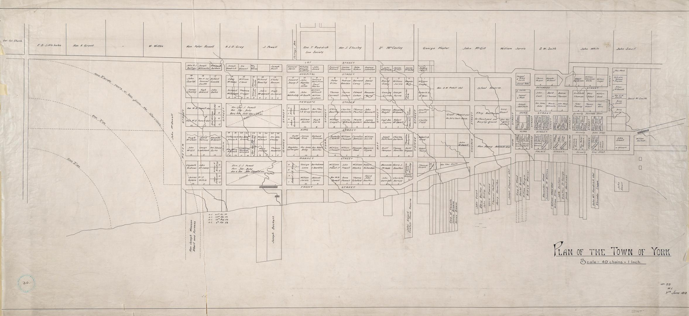

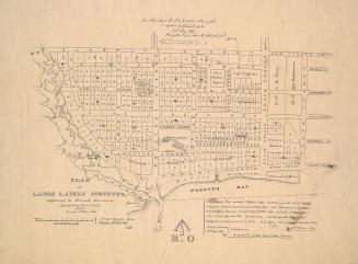
(1818) Plan of the Town of York
DateApproximately 1910
Names
Chewitt, William, 1753-1849
(cartographer)
Robertson, J. Ross (John Ross), 1841-1918
(contributor)
Format
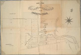
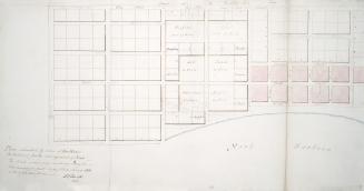
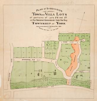
Approximately 1908 reproduction of original 1818 map. Bottom right corner ''No. 53 W.C.'' From Ontario Street to west side of garrison reserve and from waterfront to Lot Street. Shows names of inhabitants on all lots.
Scale1 inch = 40 chains
Language
ProvenanceGift of John Ross Robertson (JRR collection #30)
CollectionBaldwin Collection of Canadiana
Usage Rights
Public Domain
(Learn More)
Call Number / Accession NumberT-1818-1-LARGE
Country:Canada
City, town or township:Toronto
East-west street:King Street West
Historical location:Upper Canada, 1791 to 1841
Neighbourhood:St. Lawrence
North-south streeet:Yonge Street
Province or state:Ontario
Approximately 1908