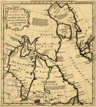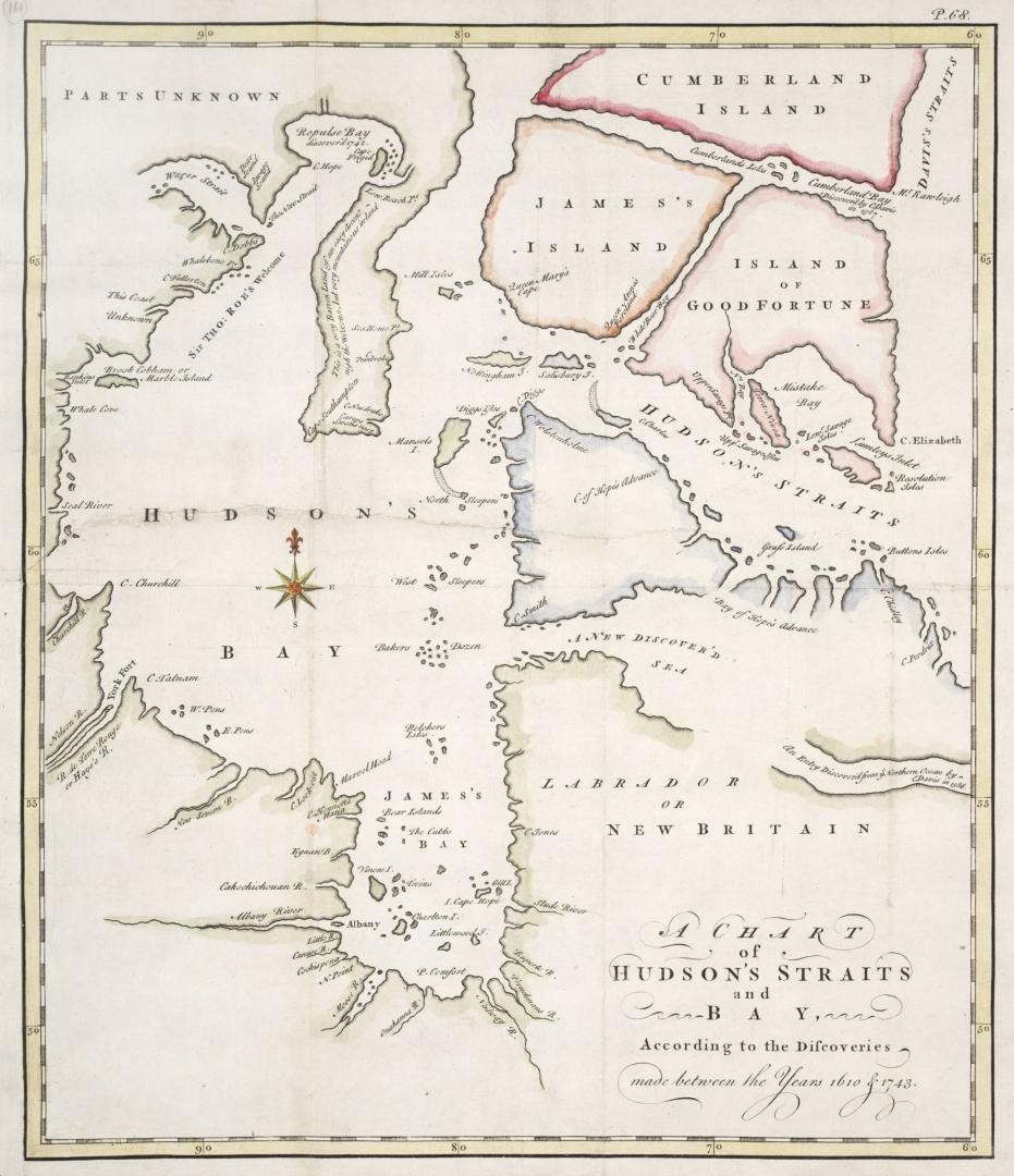

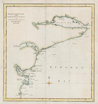
A chart of Hudson's Straits and Bay according to the discoveries made between the years of 1610 and 1743
Date1748
Names
Drage, Theodorus Swaine, approximately 1712-1774
(contributor)
FormatMap
NotesFrom An account of a voyage for the discovery of a North West Passage, London, 1748
Medium
Dimensions36.5 cm x 31.5 cm (14 3/8 in. x 12 3/8 in.)
Language
ProvenanceFrom the George Weston Limited donation of printed maps and illustrations 2002
CollectionBaldwin Collection of Canadiana
Usage Rights
Public Domain
(Learn
More)
Object Number912-19632-D67-WESTON-18
Dewey912.19632 D67 (Weston donation maps drawer, map #18)

Approximately 1820